I began my journey to reach VA 10 by traveling south (directionally east) on VA 144 in western Prince George County.


I'm now on VA 36 in the city of Hopewell.
I don't remember that arrow being so big.

This fire station signal has a flashing yellow ball in the normal green slot.

VA 36 departs Winston Churchill Drive, while VA 156 joins it.

Yikes!

Once again, yikes!

VA 10 in Prince George County.


Old Pure Oil station. There's actually an active Pure station in Petersburg on US 1/460 Business.

Now in Surry County.

Spring Grove, home of the east end of VA 40, the state's longest primary route.

Continuing past Spring Grove.


South of Surry, VA 10 meets VA 31.


VA 10 splits from VA 31 in downtown Surry. VA 31 continues to the Jamestown Ferry and Williamsburg.


I and several others got stuck behind a tractor for awhile.

That Volvo was with the tractor.

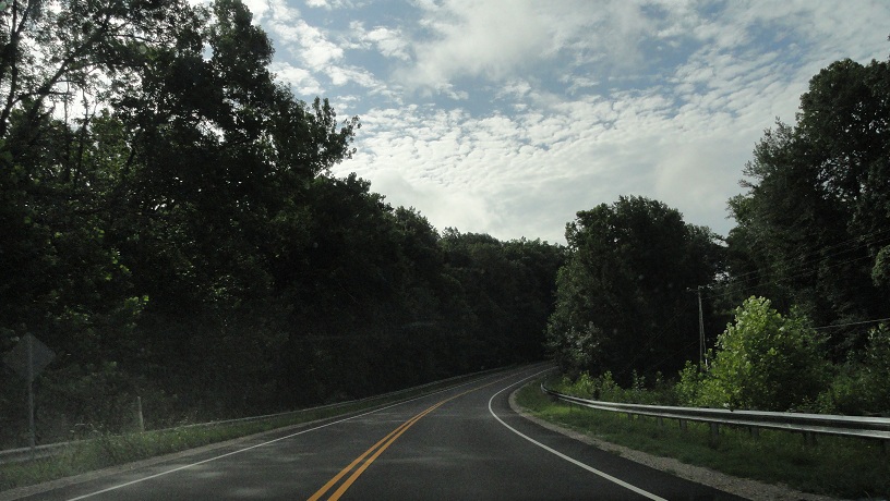
I'd loved to have been going 45 at that point. I think I was going about 10.

Bacon's Castle. From VA 10 westbound, SR 617 is a good backdoor route to Wakefield.

Finally made it around the tractor.

Sign for the Surry Nuclear Power Station at Hog Island.

Seriously. Don't pass here. We mean it.

Entering Isle of Wight County.

VA 10 meets its only business route west of Smithfield. The mainline is posted as VA 10 Truck.

I think this is an error. The Smithfield arrow would logically be pointing left.


Smithfield is known as the ham capital of the world. So it has its share of meat packing plants.

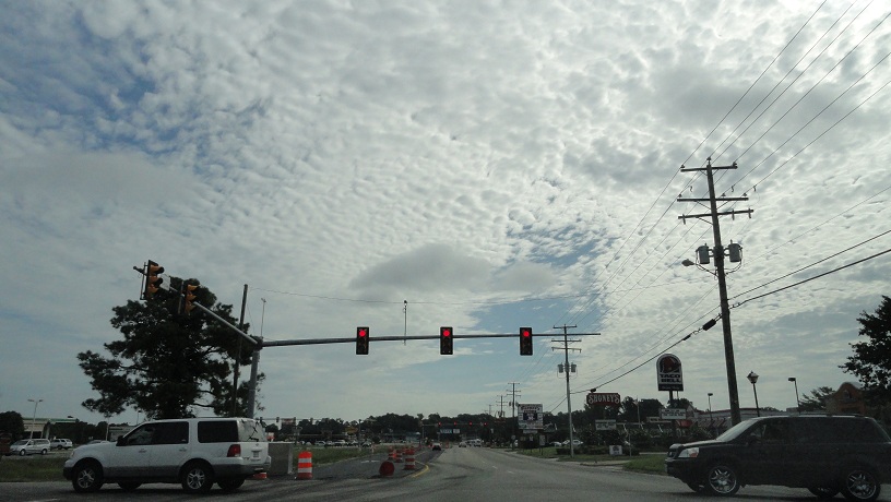
VA 10 meets US 258...

...but wait, what's that?

A flashing yellow arrow! I hadn't seen one of these before this trip. Over the coming days, you'll see that I found more.

US 258 mainline is also posted as 258 Truck.

The Smithfield bypass becomes a full-fledged expressway briefly.

Meeting VA 10 Business again. I think this is also US 258 Business.

Moving away from Smithfield. I'm actually going south at this point.

Approaching Benn's Church, where VA 10 and US 258 split, and VA 10 begins its long overlap with VA 32.

Portsmouth is to the left because US 258 and VA 32 meet US 17, which goes to Portsmouth.

These shields look pretty new.

Leaving Benn's Church, the sky looks even more ominous than it did before.

And...here comes the rain.

Entering Suffolk just after the downpour ends.

Approaching VA 125 in the hamlet of Chuckatuck. More from this route in part 7.

VA 10/32's bridge over the Nansemond River.

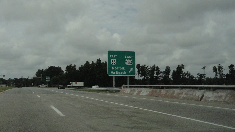
VA 10/32 meets the US 13/58/460 bypass. For some reason, US 460 is not mentioned on this LGS.

Original overheads! Note that this is the last mention of VA 10.

Um...eww.
Approaching US 460 Business. Only VA 32 is mentioned here, but VA 10 continues. I believe VA 10 is mentioned from 460 Business.

Charcoal grey unisign for US 460 Business.

Turning onto US 460 Business. For practical purposes, VA 10 ends here.

The next part of my journey will see more of Suffolk, as well as the other four cities in South Hampton Roads.
No comments:
Post a Comment