VA 125's east end is at VA 337 near Driver, and it's well posted. Note the greenout on the bottom of the waypoints sign; prior to the bridge closure it probably said Chuckatuck, where the route's west end is.

Splitting from VA 337 and going into Driver, where VA 125's speed limit is 25 MPH.


I was prepared to stop, but I didn't.

After all, the light did turn green. By the way, that white sign in the background notes that Kings Highway ends in 2 miles. We'll come back to this intersection later.

Looking to the side at these two VA 125 trailblazers. The route is still fully posted on the east side of the river.

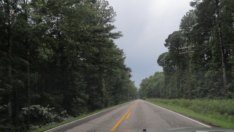
Immediately after the signal, VA 125 enters a swamp and becomes 55 MPH, which it remains all the way to the river.
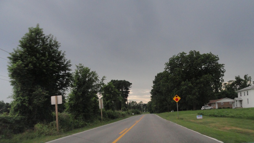
Another intersection and another warning sign. There are also two more pairs of shields here.

Getting closer to the end of the east segment of VA 125.

Not once is there a lower speed limit posted. I slowed down, of course.

VA 125's east leg ends at this barricade.

Beginning on the east leg of VA 125 again. The speed limit is immediately posted as 55.

Back into the swamp.

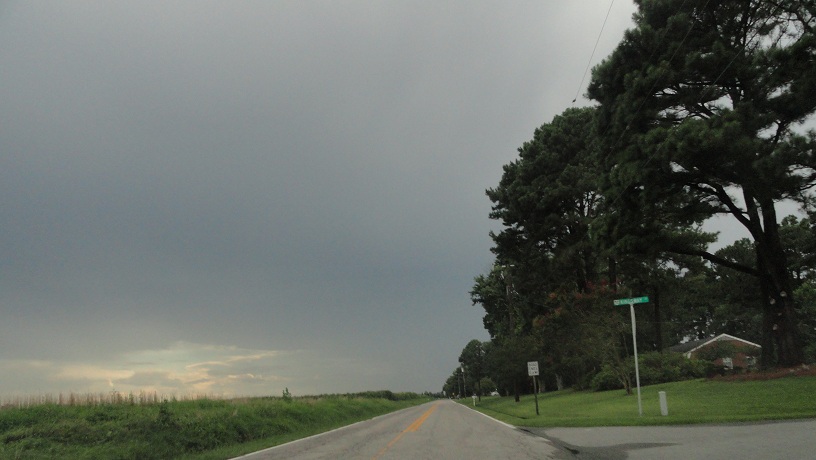
At the previously mentioned intersection, Bennett's Pasture Road, which is former SR 627, I believe. To get to the western leg of VA 125, you have to take this route up to US 17 and take Crittenden road back to the route.

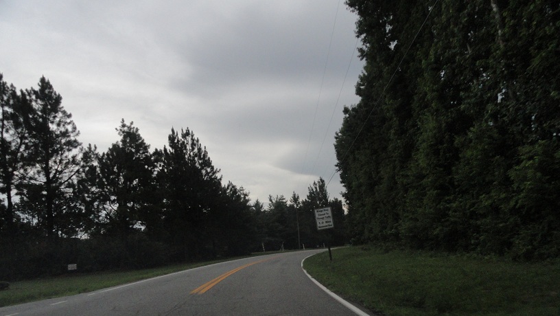
Another marsh.

At US 17. There was no southbound trailblazer.

Looking back at the beginning of Bennett's Pasture Road. There was another truck restriction warning sign for VA 337 past the Burger King warning sign.

Beginning northbound on US 17.

Approaching the Mills E. Godwin Bridge, which US 17 uses across the Nansemond River.


Off in the distance is the James River Bridge, a future entry in itself.

Approaching Crittenden Road, which used to be SR 628. Or maybe it was 627 and Bennett's Pasture was 628. I should be more certain about these things.

Another northbound US 17 trailblazer with no corresponding southbound one.

Heading south down Crittenden Road into the hamlet of Hobson.


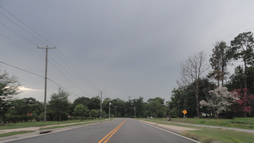
The speed limit jumps to 55 for a bit.


And back down to 35 entering Sandy Bottom.


Crittenden Road ends at the western leg of VA 125, which is not posted except from VA 10/32.
The western leg's speed limit is only 45, but it's a lot curvier.


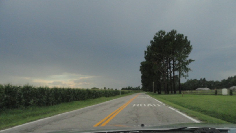
This is at the partially-unpaved Ferry Point Road. One more mile to the river.
The western leg of VA 125 ends at the river.


Google Street View doesn't have this. It's a lot more interesting there.

Heading westbound now. Time to go home.


The old alignment looks like it's being turned into a running/bike path.


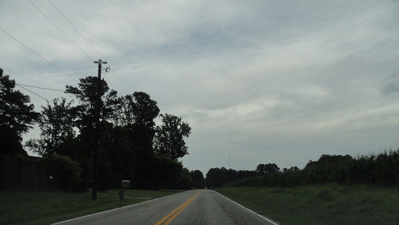
Approaching Crittenden again.

Past Crittenden is the east side of Chuckatuck.


VA 125 comes to an end. For real this time.


Heading south down VA 10/32 again, taking a back way to US 460.

It's Everets Road, former SR 603.


The rain started again as I reached Everets.


I like this photo, despite its blurriness.

Everets Road enters Isle of Wight County, where it does become SR 603, as well as 55 MPH.

From here the rain and lack of light prevented me from taking anymore usable photos, but I did make one more short video on US 460 in Southampton County. I stopped for gas in Wakefield and went to see my coworkers for a few minutes before getting home at about 10 PM.
No comments:
Post a Comment