
Looking back into Virginia. The state line is not marked, just the city limits.

A High Water sign in someone's yard.

Street blades.

Getting back on the road. There was no NC 615 shield yet.

While Elric took pictures, I set my camera to video mode. It started raining again halfway through.
The ferry dock.

We had some time to kill, as the ferry wasn't scheduled to return for another hour. Yeah, I was parked in the wrong place.

The dates on the sign backs are hand-written.

Walking down Ferry Dock Road.


Side street.

This rabbit tried to escape being captured on camera. Too bad.

Free "puppys". Seems legit.

One sign is blue and the other green. Why?

I guess that's an error. Ferry Dock Road is NC 615 as well.

The NC 615 shield is dated 2004.

After this, we walked back to the car and visited the Knotts Island Market before returning to the ferry dock.
This retriever (looked like a Lab-golden mix) and one of its siblings greeted people who arrived to wait for the ferry.

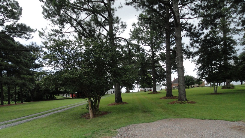
There's a fence in there somewhere.

The two retrievers.

One of them rolling around in the wet grass.

Time to get on the ferry.

Looking towards the mainland...

...and back to Knotts Island.

Now in the middle of the sound.


But I want to!

The guy on the right was parked in front of us. He and Elric talked about cameras and computers for a few minutes.

Wait, what?

Land ho!

Leaving the ferry onto the sliver of NC 615 on the mainland. It's about as long as this link.
Now heading northbound on NC 168.

Another flashing yellow arrow.

Approaching NC 34 and Sligo.


This angle rarely works. I wanted to see what the VMS said but it was blank.

NC 168 reassurance shield.

Crossing the railroad tracks that parallel NC/VA 168 for awhile.

Another NC 168 reassurance shield.

Billboard for the Border Station.

Currituck doesn't want an outlying airfield.

More flashing yellow arrows. And more rain.


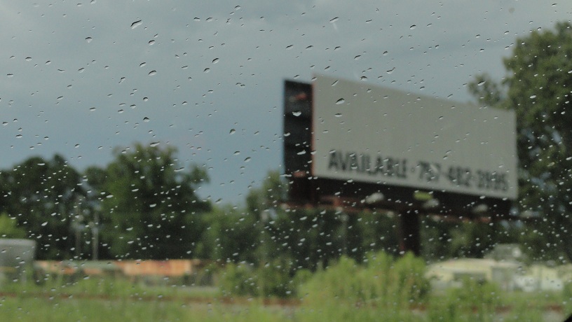
Interstate commerce. This billboard in Moyock, NC (area code 252) is owned by a company in Hampton Roads (area code 757).
The center lane of NC 168 has rumble strips around it. Very wet rumble strips in this case.

Pulling into the Border Station, a gas station that straddles the NC/VA line.

In the Border Station parking lot.

Looking back into North Carolina...

...and forward into Virginia.

Off in the distance in the last picture is a VA 168 shield...I'll pick up with part 4 there.
No comments:
Post a Comment