
VA 168 has mileposts with the shield on it from I-64 to the border. It has no name south of VA 168 Business, despite what Google Maps says.

Old Battlefield Boulevard is VA 168's former alignment to the border.

This photo has it all: milepost, reassurance shield, inactive VMS, and speed limit sign.

Approaching VA 168 Business, Battlefield Boulevard.


Beginning up VA 168 Business, which was, of course, mainline VA 168 for decades. There's a reassurance assembly in this photo. Can you find it?

Driving up VA 168 Business and Centerville Turnpike up to VA 165.
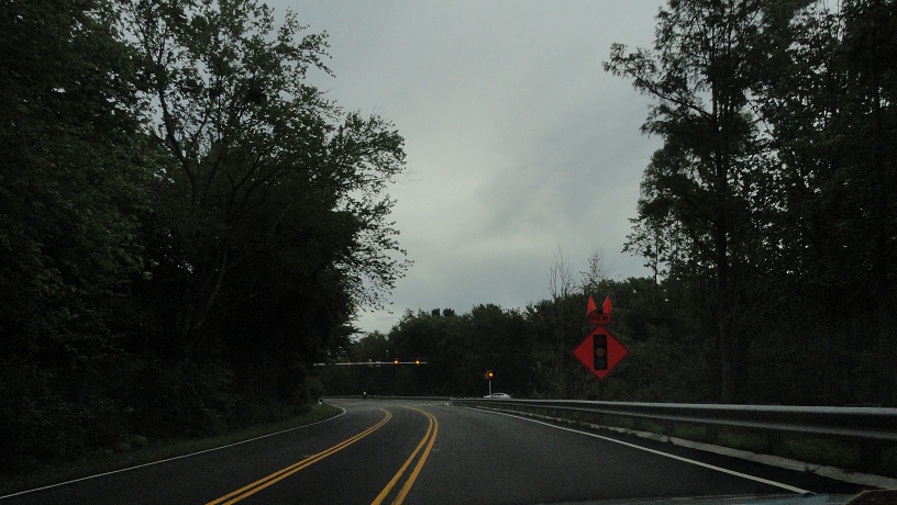
Resuming photography on VA 165, Mount Pleasant Road.

Approaching Fentress Airfield Road, which has a new signal.


Crossing a drawbridge into Virginia Beach, where VA 165 becomes North Landing Road.


Coming back to VA 149. Of course the only VA 149 shield photo I take would be blurry.

VA 165 becomes Princess Anne Road.

More photos of the VA 165 construction.


From here we ate dinner, then drove back to Lynnhaven Mall and parted ways.
I'm now solo again, leaving Lynnhaven for I-264.
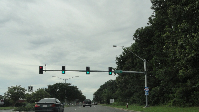

I'll pick up on I-264 in part 5.
No comments:
Post a Comment