

Back in downtown Suffolk, where the Nansemond River is no longer imposing enough to sever a state route for the foreseeable future.

Something begins here, but we don't know what it is.

After dropping Elric off at his car, I continued west on US 460 Business.

Apparently posting the mainline US 460 here would be confusing.


Oh, there it is. And some greenout on the US 58 BGS.

Now in Windsor. Because pet pooing is cool.

The secondary routes in Windsor have T (for town-maintained) on the white rectangles posted, but not the shields.


Abandoned house/gas station combo, or something.

Almost out of Isle of Wight County.

But first, Zuni and its many rumble strips.

Now in Ivor in Southampton County.


Now just in Southampton County.


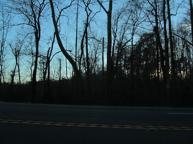
Sun...

...setting.
Entering Wakefield, now in Sussex County.

We'll see more of VA 31 in the entries from my next trip.

The railroad gets up close and personal with US 460 between Wakefield and Waverly.


A weight limit doesn't always imply a cool old bridge, but you never know.

And there's a 5th generation Prelude.

Unless I just time traveled back to 2008, I don't think that Texaco's active.

Now in Waverly, near VA 40.

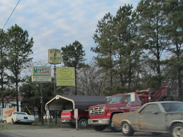
Glenn Grammer's house of rusty El Caminos.
Leaving Waverly.

More sunset photos.


Sussex secondary route 602 is a parallel to VA 40. A future trip is in order, perhaps.


Back in Disputanta, and Prince George County.

Now on The World's Most Depressing Stretch of US 460 again, at VA 156.

This was the first time I'd ever seen a proper Clearview distance sign. Except for the numbers, it actually looks good.

The last photo, leaving US 460 in New Bohemia on SR 630. My camera died after this, but I stopped for gas and headed home. I ended up traveling exactly 300 miles on this trip. See you again soon. Have a great 2013.
No comments:
Post a Comment