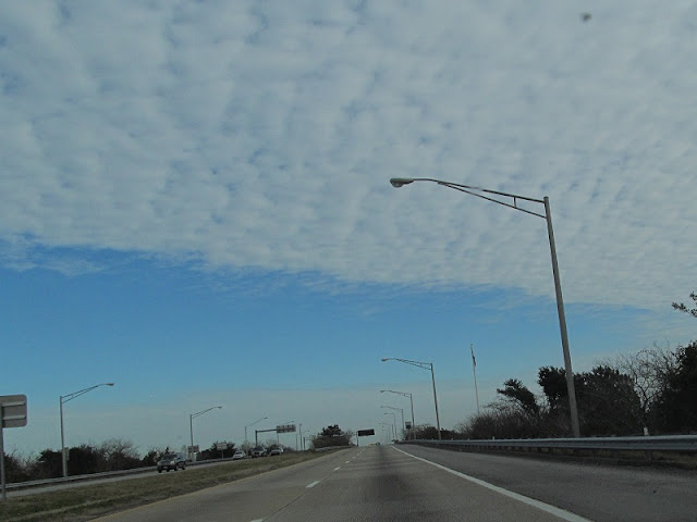
Well, now that I've taken another trip, I'm going to finish off the entries from this one quickly so I can show you photos from that one more quickly.
Leaving I-664, we headed east on I-64, still on the Inner Loop of the Hampton Roads Beltway. Another tunnel is near.
Rip Rap Road. Say it. It's fun.
When you want to save money and space, use weird abbreviations.
VA 415 is Queen Street, and VA 278 is King Street.
Tunnel signage.
Bad tunnel signage.
Why is the "Right Lane Ends" sign in the left lane? Shouldn't it be on the right? And why is there such a size discrepancy between these two BGS's?
We have Exit 268, and then we have the tunnel.
On the bridge. There's also video.
And the tunnel.
That black sign says Maintain 55 MPH. So I did.
Resurfacing on the Norfolk side of the tunnel.
Looking over at the westbound lanes. They were congested, as usual.
Entering Norfolk, with its terrible pavement.
US 60 departs I-64.
What HOV means.
I-64 reassurance.
We then join I-564, Admiral Taussig Boulevard. The pavement was so bumpy between the last photo and I-564 that it ruined all the photos I took between them.
Most of my I-564 photos were bumped out of existence as well. You'll have to watch the video for the bulk of it, but here's one of the exits.
To quote Elric, there is no gate 4. None whatsoever.
Yep, I-564 has a tunnel too. This one just goes under a runway.
I-564's last exit.
I-564 ends here, for now, transitioning to VA 337, which keeps the Taussig Boulevard name. It has since been announced that I-564 will be extended as the Intermodal Connector.
We'll pick up with VA 337 in part 7.


No comments:
Post a Comment