Friday, January 18, 2013

Road Sign Pictures That I Gone And Done, Fall/4th Quarter 2012

Well, it's time for another batch of photos that didn't really fit anywhere in particular, from the last few months of the year.

This first photo was taken on 9/29/12, and is of an error US 36 shield in downtown Petersburg. This is on US 301 northbound and 460 Business westbound. Wythe Street here is eastbound VA 36. It should also not be a three-digit shield.

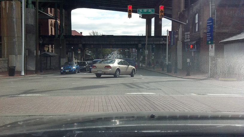
These next few photos are from 11/3/12, when I was driving US 60 eastbound through Richmond. Here's the intersection of 15th and Main, which carries US 60 and 360. I took these two pictures to illustrate how high off the ground I-95 is here, because it really doesn't seem like it when you're driving it.


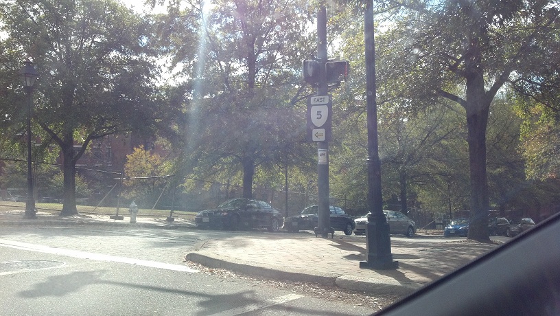
25th and Main. VA 5 begins here.

I started seeing these signs east of the 5/60 split.

Now east of the city, I saw this error 3-digit shield for VA 5 approaching Laburnum Avenue.

This VA 156 South reassurance shield is actually on VA 156 northbound. There's also an error in the other direction.

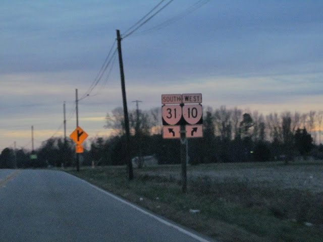
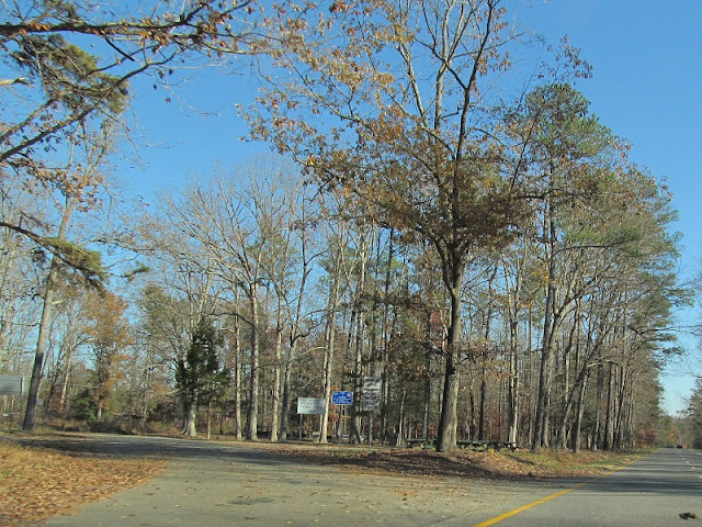
Some random photos from November now. This is VA 10 eastbound at Chesterfield secondary route 827, Allied Road, near Hopewell. 11/4/12.

A few minutes later on the same day, approaching the Meadowville interchange from the east on Meadowville Road.

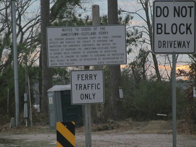
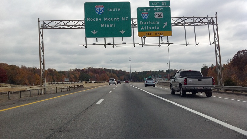
On my way to work one day, traffic was stopped on I-95, so I got a chance to take a good photo of the famous Miami BGS. 11/15/12.

Traffic from I-85 northbound is supposed to yield here, but often doesn't.

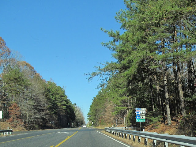
A few days later, on my way to work again, I took a photo of the overheads at the 95/85 split. Yes, my daily work commute takes me by the end of a major interstate.

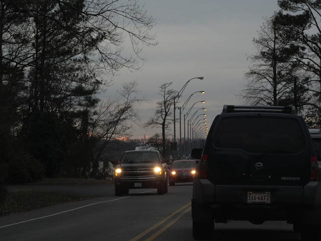
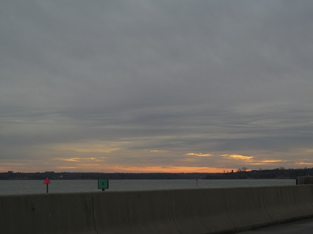
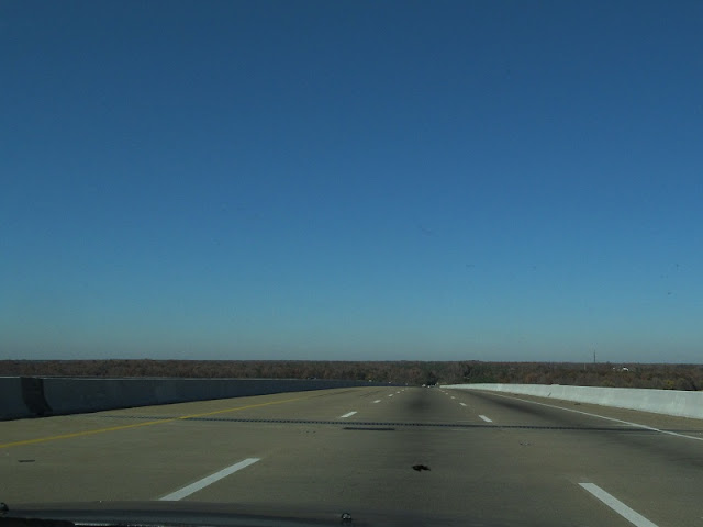
Some photos from a Thanksgiving trip (11/21/12). Here I'm on I-295's bridge over the James River.

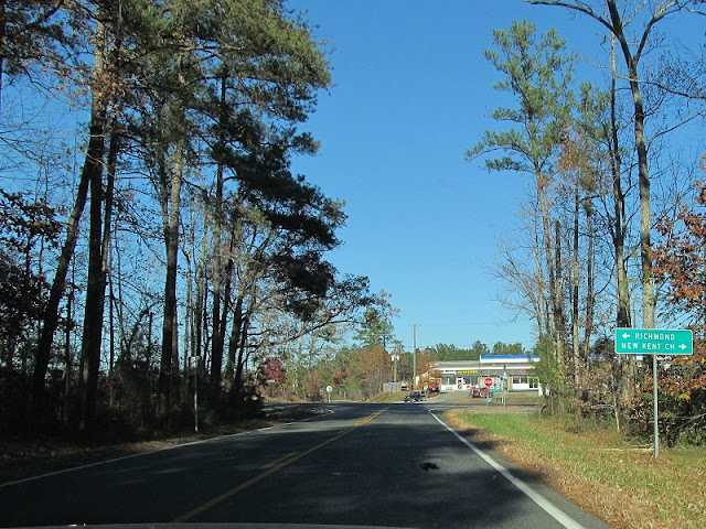
Now on US 60 eastbound in the Toe Ink area of New Kent County. US 60 splits pretty wide here.


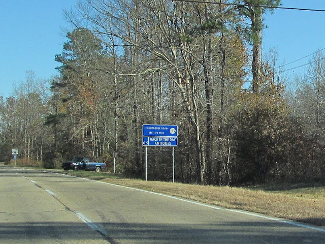
VA 106 is shortly afterward.


After VA 106 a few miles east is Providence Forge and VA 155, with this erroneous circle 155 shield.

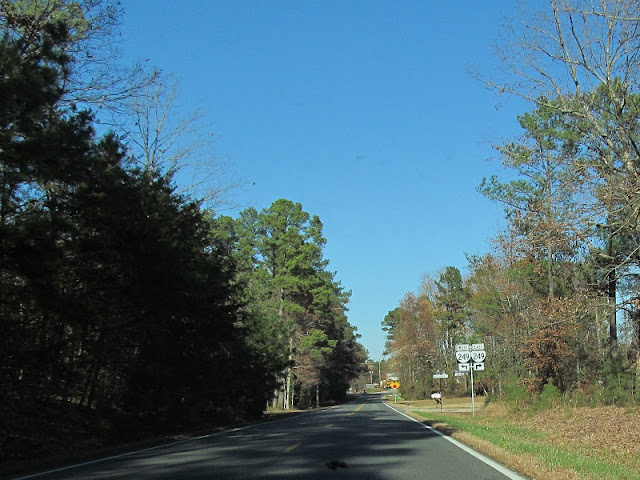
VA 155 northbound between US 60 and VA 249, its north end.


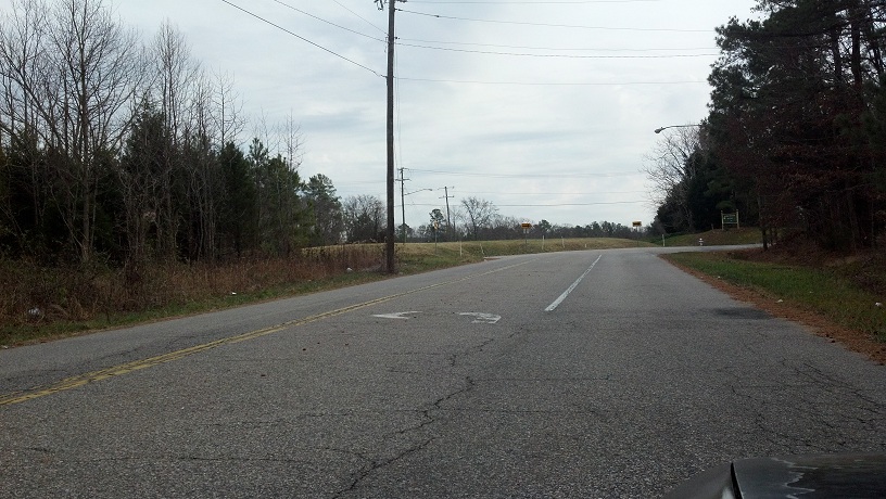
These last two pictures were taken on 12/28/12, on an old alignment of Chesterfield secondary route 604. The intersection of SR 604 and SR 653 was realigned several years ago, moving north with a new traffic signal. The old alignment is still in use as access to a subdivision. As you can see, the turn lane is still marked.

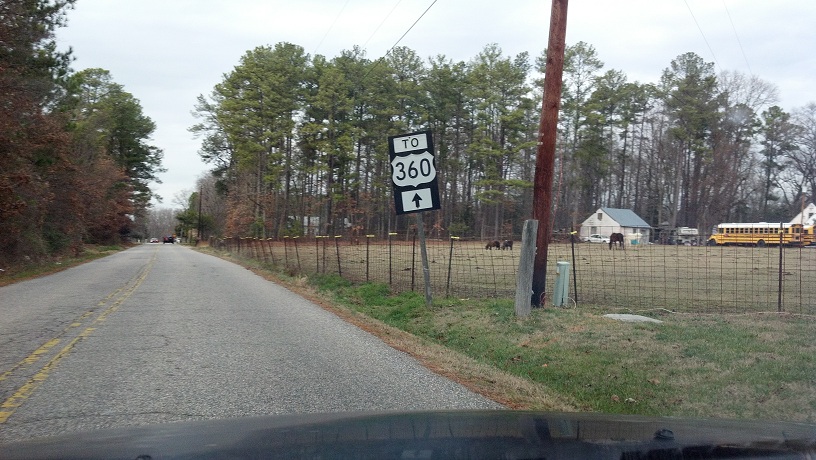
This old To US 360 unisign was what caught my attention to drive this way in the first place. I was on my way to a nearby junkyard when I saw this on the old alignment.

I'm beginning preparations for my first trip of 2013, so I'll see you soon...

Wednesday, January 16, 2013

Williamsburg 2012, Part 6: Nightspots

On my way home from Williamsburg now. I drove through town to reach VA 132Y, which connects VA 132 with the Colonial Parkway. I then took the Parkway to VA 359 at Jamestown. Here I'm at the Parkway's interchange with VA 132 and VA 199.

The Parkway was designed by the National Park Service to look old, so it has three concrete lanes, the center being a suicide lane. Passing is generally confined to the straight sections along the rivers. Non-passing zones are marked with these "Do Not Pass" signs. When they really don't want you to pass, they make one of them yellow.

Vintage-style pavement + stiff suspension = blurry pictures. At some point I re-enter James City County for the final jurisdictional change.

Most of the bridges on the western part of the Parkway don't name the creek you're crossing. On the eastern side, they do.

The western part of the Parkway parallels the James River.


Suicide lane.

River view.

Someone lives on the Parkway, apparently.

Parking area.

Seriously. Don't pass.

Another bridge over a creek that may or may not have a name.

The west end of the Parkway is at Jamestown.

While maintained by the National Park Service, the Parkway has the secret state route designation of VA 90003. Why such a ridiculous number was chosen, I don't know. There are also VA 90004 (Dulles Access Road, the "free" lanes inside VA 267) and VA 90005 (George Washington Parkway and Washington Street in Alexandria, which also includes VA 400), but the next lowest number is VA 895. Like I said, I don't know.

From the Parkway, I took VA 359 to VA 31, which leads to the Jamestown-Scotland Ferry.

Instead of the normal three ferries operating, there were only two, the Williamsburg and the Virginia. This means I had plenty of time to take pictures while I waited for my turn.

Traffic departs from one ferry.

Assorted governmenty warnings.

Moving up. It's still not my turn to get on the ferry, though.

That left me plenty of time to get some sky and water photos.


Here comes the Virginia.

Sure, it may say 45, but wind chill probably made it feel much colder. I wouldn't know, since I didn't get out of the car.

Caution: Deck may contain traces of Bon Jovi.

Land ho! I stayed in the car the whole trip, not because I wanted to, but because there was an SUV parked 2 feet away from me, with the driver constantly looking at me like "I daaaare you to open your door and scratch my vehicle." Stuck in the car, and you're to blame. SUVs are mad lame.

There are three Scotland Slips (Scotland being the name of the place on the south side of the ferry crossing).


Now in Surry County, continuing south on VA 31.


In Surry Courthouse, where VA 31 meets VA 10.


They then split south of town. While in 2011 I kept straight on VA 31 to clinch it, this time I chose to take VA 10 back.

This part of VA 10 is pretty uneventful, especially at night.

I left VA 10 at secondary route 609, which used to be part of VA 10, then VA 37, then VA 106. This video is from June 2012. It's much more eerie driving it at night.

Almost home now. I'm entering Hopewell again, the sun long since completely set.


My last road trip photo taken in 2012.

So that's it. Finally I can go to Williamsburg without thinking about clinching thing. Coming soon, the 2012 year in review.