
Now on I-264, which I reached via I-664 southbound.


The Des Moines Avenue exit was closed.


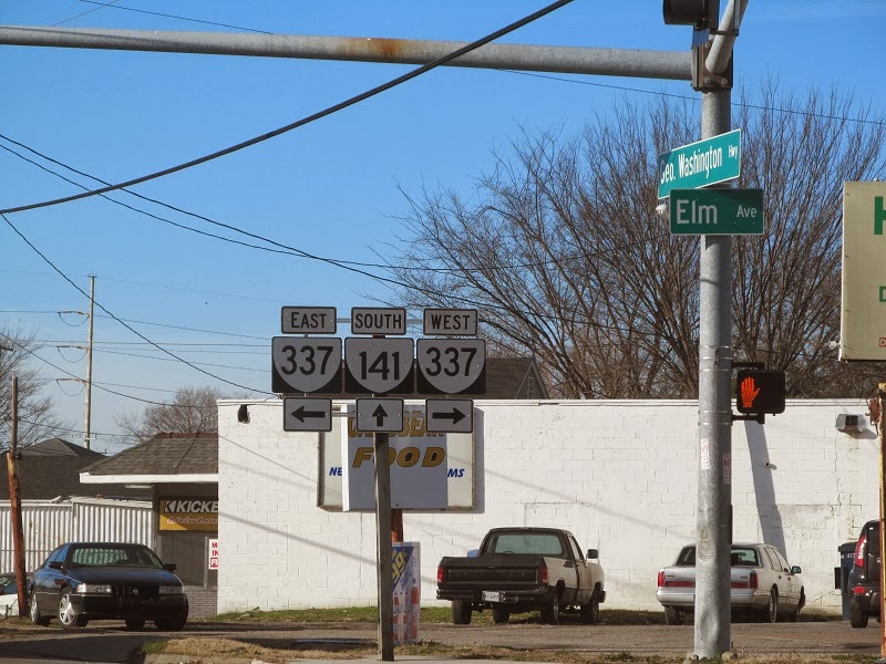
Descending to VA 141 southbound to clinch it.


To get back to I-264 from VA 141's south end, I took US 17 northbound to VA 337 eastbound, back to VA 141.


That I-264 shield...ew.

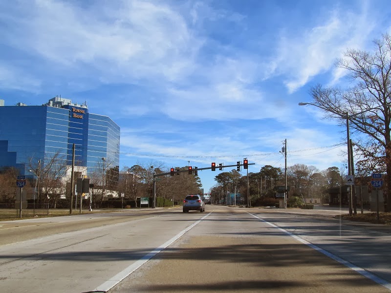
Back on the interstate, oceanfront bound.


I hadn't driven this far before on I-264.


First Colonial Road was once VA 408. It was never posted from I-264 {or its tolled predecessor, VA 44) but it was posted from VA 279 and, I believe, at least one of the US 58s.


Birdneck Road is the last exit on I-264.

I-264 ends to become 21st Street eastbound and 22nd Street westbound.


There were circle 408 trailblazers on westbound US 58/Laskin Rd when I was first stationed in Norfolk (2001-05). They were gone by 2012.
ReplyDelete