
I went south on Pacific Avenue, a block over, to General Booth Boulevard. I turned at Birdneck.

I'm conflicted.

Heading up to the resort area again.


Atlantic turns at this traffic signal. US 60 is on Pacific for a bit until it turns onto Atlantic to Rudee Inlet.

Heading up Atlantic some more.

US 60 turns from Atlantic to Shore Drive here. Atlantic keeps going to Fort Story. The segment of Atlantic north of US 60 was once VA 305 until 1960, although there were VA 305 shields still around on Google Street View. I didn't see any.

The easternmost section of Shore Drive is over a mile long, mostly straight, and low traffic. Whee!

After VA 343 and former VA 305 again, US 60 meets the north end of VA 279, Great Neck Road.


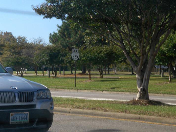
In 2009 this was a VA 225 shield. Really. Because Virginia Beach.

VA 279 south ends at US 58. I then took that to VA 225.


I've done most of VA 225, but I still needed the part from US 13 to US 60 to clinch it.


No comments:
Post a Comment