Sunrise over VA 144 in Colonial Heights.

East of its concurrency with VA 106 and 156, VA 10 drops from four lanes to two.


At Spring Grove in Surry County, home to the eastern end of VA 40, the state's longest primary route at over 220 miles. Its west end is VA 8 in Patrick County.

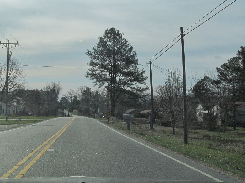
More from Surry County. There isn't much here other than the occasional CDP.


In 2012 I was too busy avoiding tractors to take pictures in this area. This time the tractors were in the other direction.

Now in Bacon's Castle. Mmm...bacon castle.
East of Bacon's Castle is Isle of Wight County, greeting you with the CDP of Rushmere and a 45 MPH speed limit.

Lights weren't flashing, so there was no fire station at the time.

Getting close to Smithfield.

Two different generations of signage, two different names for mainline VA 10.


VA 10's bypass of Smithfield is arrow-straight almost the whole time until it meets US 258.

Going over some water.

Spot the

VA 10 and US 258 meet, with differently designed shields.

There's an exit here, for SR 714, Fairway Drive.


Southeast of there, there's sprawl, although I didn't take pictures of it. I just find it odd that a town as small as Smithfield has sprawl.


At Benns Church I departed VA 10 and stayed on US 258, which takes the useless VA 32 northbound towards Newport News with it. I'll pick up with that in part 2.
Smithfield has sprawl because it's now effectively a Hampton Roads bedroom community.
ReplyDelete