We mostly took US 1 down, but got there via I-85. Here are a few 85/460 cutout postings near the interstate's beginning.

That new Virginia interstate shield has crept its way onto I-85.

The exit's coming up. US 1 also carries US 460 Business, which is not posted here for some reason.

Going over VA 319.

Now on US 1. I don't know if this grocery store was named for the route or not.

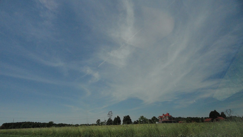
An old house of some sort.
The first of many, many 3-lane sections on US 1 between Petersburg and the border.


The extra southbound lane ends. After a brief wide 2-lane section, northbound gets the extra lane, and so on.


Dinwiddie Courthouse. Here we were taking a bathroom break.

The actual courthouse is on the right.

SR 619, the southern half of Courthouse Road in Dinwiddie County. The route continues through Sussex and Greensville counties all the way to Emporia.

Some of US 1 in this area does have 4 lanes.

Old cantilever bridge. The newer northbound bridge has work being done on it.

The first of several "Historic Route 1" assemblies with a reassurance shield. Not all are as well-placed as this one, as you'll see later.

Entering the town of McKenney, the only incorporated place in Dinwiddie County. (Petersburg doesn't count.)

Ye Olde Virginnie hotel, one of two hotels in McKenney that doesn't look like it's being used for its original purpose right now.


US 1 meets VA 40 in downtown McKenney. That's a Dinwiddie sheriff's deputy heading northbound, hence the odd angle.


The other hotel in McKenney, Wilmurt's Motel. Again, nobody's home.

Old Coke machine, a standard for any out-of-the-way hotel.

The place looks like it's in decent shape, so maybe it'll be functional again one day.

Just past McKenney is the Dinwiddie-Brunswick border across the Nottoway River.


Just ahead is the famous Nottoway Restaurant, established in 1929. We stopped there and ate lunch.

SR 712 was VA 140 for a few years.

Looking at I-85 from the parking lot of the Nottoway, across a cow pasture.

More signage from the parking lot of the Nottoway.


Stupid blur.

Looking northbound up US 1 across the border into Dinwiddie.

The banquet room at the Nottoway. The K and R in "Keep Door" have fallen off. Naturally, this is right next to the bathroom. ("Eep! Doo!") If you look closely you can see my reflection in a mirror in the far background.

Back on the road.

Distance sign. This is the first of many signs you'll see on this trip that was made by VDOT's South Hill residency, which

It's hard to tell from this picture, but the numbers in this shield are crooked.

Entering the town of Alberta. "Welcome to Alberta. We don't have much, but if you try to take pictures of what we do have, we'll hunt you down and yell at you."

Passing VA 136. I don't want to talk about it.


This is the first direct interchange US 1 and I-85 have had since we got off it near Edgehill.

And now you have an example of the "Historic Route 1" reassurance assembly being too close to another US 1 shield. It's in the background a bit behind the distance sign.

Going under an old railroad bridge that has "Seaboard" engraved in it.

Approaching VA 46. The reason this has a Historic Route 1 sign on it is because there's a Civil War site just south of here. These shields show the perils of using a narrow font.

These are better.

A brief sidetrack up VA 46.

VA 378 trailblazer. I didn't get a chance to photograph one of these last time I was here because...I don't want to talk about it.

Heading back onto US 1 now.


Another underused 4-lane section begins.

I think the northbound lanes are the original alignment, because they hug the terrain more.

Going over a branch of Shining Creek...

...and the main creek.

Another Historic Route 1 assembly. These are all fairly new.

Crossing the Meherrin River, but still in Brunswick County for a bit longer.

Welcome to Brunswick County sign.

Still no county line in sight...


There it is.

Freshly paved, too. It's so new the white lines dividing the lanes haven't been painted yet.


Back on the old pavement for a bit.

Entering South Hill. US 1 becomes Mecklenburg Avenue.

Downtown is still a few miles away.

Approaching VA 138. This is the first route I have never driven on but have photos of both its ends.


South Boston is on US 58.

Now approaching downtown South Hill.

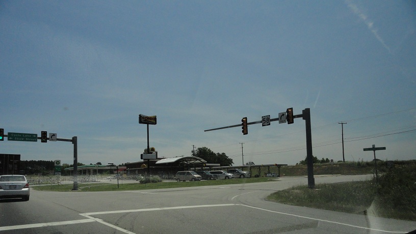
US 1 meets US 58 Business (missing the banner) and VA 47, the latter of which ends here.

VA 47 goes west here, but it's signed north-south because it makes a turn in Chase City. More from this intersection Wednesday.

South Hill's Springfest had Mecklenburg Avenue closed.

Ugh.

Double ugh.

I like this, actually. I may have crossed into La Crosse at this point. We went through the town and turned around.
Near the same intersection but approaching westbound. Here I was heading towards I-85 to clinch the rest of its Virginia routing as a driver.

On I-85 now.

Let the glare begin!

Last exit in Virginia. SR 903 was numbered to match the primary NC 903.

Going over Lake Gaston. The Roanoke River has Lake Gaston and Kerr Lake separated by a short stretch of normal width river.


BGS for US 1 and 401, the first North Carolina exit. This is the only US 401 shield in Virginia, unless there's a wrong shield on VA 401 somewhere.

Crossing the state line. The speed limit drops from 70 to 65.

I don't remember what this sign says, but it had an I-85 shield on it, so I snapped it.

Like its eastern sibling I-95, I-85 is a Blue Star Memorial Highway in North Carolina.

Leaving the interstate to see the north end of US 401...


..which we'll see tomorrow. Stay tuned.
No comments:
Post a Comment