We had decided approaching Cartersville from the north was the better way. To do that, we took VA 288 to VA 6. Here's a VA 288 ressurance shield with a TO TOLL NORTH VA 76 shield that has been around since the days the two routes essentially ended at one another.

VA 288's bridge over the James River.

Overhead for VA 6 on VA 288. We decided to get lunch, so we headed east on VA 6 until we found a restaurant.

The BB2 in the parking lot of the Arby's we ate at.

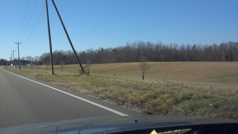
From here we took VA 6 westbound for awhile. Here are some photos of VA 6 in the Manakin-Sabot and Crozier areas.


Coming up now is the Goochland state prison facility and its training complex. The prison itself is served by VA 310, while the training complex (seen in these first two photos) is not.


Approaching VA 310 now. VA was originally part of VA 6 and its predecessor, VA 19.


VA 310 crosses a little bridge before approaching the prison, which looked completely deserted that day.

VA 310 loops around to VA 6 next to the water tower seen prominently in several previous photos. Shortly after, VA 6 meets US 522 and they overlap to Goochland Courthouse.


Interesting that the long-distance places on the distance sign are both for VA 6.

Entering Goochland now. I had just passed the unposted VA 329 at this point but didn't know it.


That Goodyear sign doesn't look old, but it doesn't look like any I've ever seen before, either.

Approaching VA 396, which serves the Goochland campus of J. Sargent Reynolds Community College. Shortly after is the Goochland


VA 6 leaving Goochland Courthouse. George's Tavern was where we were headed, and it was closer than I thought it would be.

Starting to head more uphill than downhill at this point.

Approaching VA 45 at George's Tavern. From here VA 45 goes south to Cartersville.


Glare warning. Roadgeeking southbound in January on sunny days comes with such problems.

VA 45 has a speed limit of 45 north of Cartersville, due to lots of curves. It's one of a few routes I know of that have a speed limit identical to its route number. Of course, there won't be that many of those.


Descending to the James River now. This is one of the funnest descents to a creek/river I've driven. Reminds me a lot of Bradley Bridge Road in Chesterfield County.

Apparently this place is called Pemberton. This is all there was to it. Here we crossed the James River at the bridge in the background.

Looking at the original Cartersville Bridge from the current VA 45 bridge. Upon crossing the river, we pulled over to the a boat dock and got out to look at the old bridge.

The original Cartersville Bridge is a 19th century bridge that VA 45 used upon its creation in 1928 until the bridge was destroyed in 1972 as a casualty of Hurricane Agnes. VDOT wanted to demolish the rest of it; Goochland and Cumberland Counties had it registered as a national historic site instead.


This was a one-lane bridge. Had it not been destroyed, it may have been bypassed eventually anyway. Some pavement still exists approaching and on it.


Looking back from the bridge towards the car. It didn't seem this far away in the other direction.

The bridge's superstructure is wood.

The bridge has lots of holes now. This was one of the biggest and you can see the surface from it.

Another car photo. From here we got back in the car and drove into Cartersville.

One of the first things you see in Cartersville is this semi-abandoned Amoco. It doesn't look old and there are still cars around it, so it may be still in use as a garage.

VA 45 distance sign just south of the Amoco.

An old house, possibly Morven, in Cartersville.

Approaching the 45-684-616 intersection. VA 45 turns right here. SR 684 was VA 27 from 1940 to about 1950. When that was the case, it followed VA 45 to the right with a wrong-way concurrency.


Dad was an inspector when VA 45 was repaved, so he has some knowledge of the area. He said this field on VA 45/old VA 27 was supposed to be a subdivision that never materialized.
No real significance to SR 706. I just hadn't photographed a lot of random SR trailblazers and I thought I'd get one for posterity.

Approaching SRs 689 and 690 on VA 45. SR 690 was also part of VA 27. When the 684 part was downgraded, this was the route's south end.


And now, some random photos from VA 45. I didn't take many because the road is like VA 153, fast and curvy, but with less traffic.


VA 45's northern segment ends at US 60, and they turn right here. From 1928 to 1935, VA 45 kept straight here, when US 60 used what's now VA 13.


Beginning down US 60 and VA 45 towards Cumberland. VA 13 is a short ways ahead. Initially I'd planned to take VA 13 back but decided I'll save that for another trip.


Now past VA 13, approaching Cumberland Courthouse.


Unfortunately I was going right into the sun at this point.

You can tell when you're in District 3 when you see these.

Not long after Cumberland Courthouse, VA 45 leaves US 60 and heads to Farmville (the real one).


Getting near Farmville now. Here's the small Marion's Bi-Rite general store.

Entering Farmville, which does not live up to its name.

VA 45 crosses the Appomattox River entirely in Farmville corporate limits, but makes an unsigned change from Cumberland County to Prince William County.

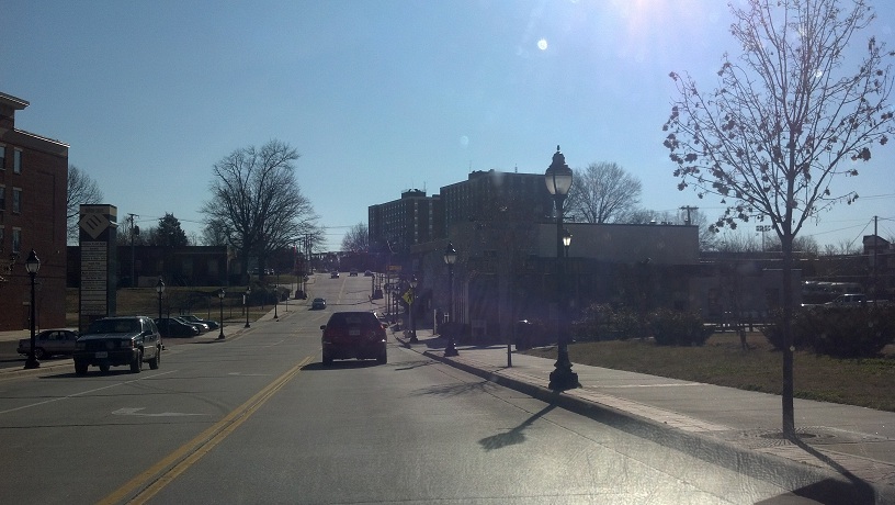
Now entering downtown Farmville, which has a very Richmond-like vibe to it. The really big buildings are part of Longwood University. VA 45 turns into US 15 Business in town. My photo of the intersection didn't turn out.
On the south side of Farmville I stopped at a Sheetz and got some gas. Here I was getting back onto US 15 Business, which didn't have a Business banner. The bypass was south of here, but I wanted to keep going south.

US 15 approaches VA 133, which serves Hampden-Sydney College.

Distance sign for US 15 just south of VA 133.

US 15 uses this bridge near, but not at, the Prince Edward-Charlotte county line.

An abandoned Pure Oil station on US 15 in northeastern Charlotte County. Judging by the prices still showing (1.65, 1.78, 1.89) it closed about 5-10 years ago.

Approaching the Keysville Bypass on US 15. I decided to go through town on the business route.

A block away from where US 15/360 Business meet VA 40 is the "north" end of VA 59. It actually heads more west than south here.


Beginning down VA 59. I turned back to the 15/360/40 intersection here and went through town.

VA 40 leaves the two US business routes (which are missing their banners here) and goes over the bypass.


Now past Keysville, VA 40 goes out into nowhere for awhile.

But first, another community college and its primary route.


And now, not much going on for awhile.

An abandoned grocery store.

One-piece VA 40 shield on a distance sign.

VA 40 approaches VA 49 just outside Lunenburg Courthouse.


VA 40/49 in Lunenburg Courthouse.


Now in Victoria, a few miles north. This is approaching the VA 40/49 truck route, which exists because of a bridge on the mainline.


Now approaching the northern VA 40/49 split in downtown Victoria. You can see the bridge in the background here.

Bike Route 1 follows VA 49 north here.

At the intersection of VA 40/49 is this old Texaco logo painted on the wall of this building.


Looking towards VA 49 northbound.

Ugly shields for the VA 40/49 truck bypass in the other direction. VA 40's westbound truck route follows VA 40 eastbound!


Normal VA 40 reassurance shield past the truck route.

Abandoned grocery store in eastern Victoria.

And this is probably why the other one's abandoned. It's right across the street. I remember a girl I went to college with was from this area, and she said this was a huge deal when it opened.

Now in Kenbridge, a few miles east of Victoria. I'm not sure why they called this the Commercentre. It's practically a ghost town.

VA 40 turns onto itself in Kenbridge. The VA 40 shields in the second photo are a very similar if not identical font to the VA 44 shields that were plentiful when that route existed in Virginia Beach. Also of note, SR 637 goes to South Hill. The guide sign directs you to VA 138.


VA 40 in Kenbridge.


Of note, VA 137 and 138 are the only two routes in Virginia to both end while in the same concurrency.


VA 40 distance sign past VA 137/138.

VA 40 crosses the Nottoway River, going from Lunenburg County to Nottoway County.

Now in Blackstone, approaching VA 46.


Finally, on US 460 near Church Road is this new flashing beacon.


So that was my first roadgeek trip of 2012. I hope to have several more. This time I clinched VA 45 and VA 310, as well as knocked out a big chunk of VA 40 and small parts of VA 6 and US 15.
No comments:
Post a Comment