
VA 143 isn't far up VA 169.

Phoebus has horizontal traffic signals.


VA 143 (as well as US 258) ends at Fort Monroe, a decommissioned Army base. From 2001 to 2011, the fort was closed to the public, but today it can be freely visited.

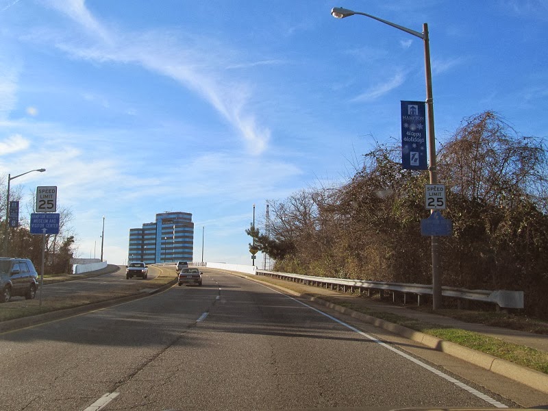
The Hampton Roads Bridge-Tunnel is in the background.

VA 143 begins to the left and US 258 to the right. They meet again in Newport News.

The first VA 143 reassurance shield. VA 143 is mostly a renumbering of VA 168, which was once entirely on the northern side of Hampton Roads. Over time VA 168 was moved onto I-64 between the HRBT and what is now VA 30. It continued north to the current VA 30-33-249 intersection in New Kent County until 1980.

VA 143 in Phoebus is Mellen Street, until the first of many street changes.


Back at VA 169. VA 143 used to turn with it to the next block but now does it on its own.


Quick turns.


US 60 joins VA 143 into downtown Hampton.


Meeting VA 134.

In the Kecoughtan area.

This used to be VA 167.

VA 143 is on Victoria Boulevard through the rest of its trip through Hampton.

No comments:
Post a Comment