March 10, 2012. All my friends are working, while I have the weekend off. That of course, causes me to get into my car and drive around. There were three things I'd been wanting to do for a bit: one, check out the old US 17-1 loop from Stony Creek to Templeton, which was bypassed via a more direct route in 1928. Second, I wanted to see if anything was left of Cloverleaf Mall in Richmond (spoiler alert: no), and then while I was nearby, I wanted to drive down VA 10 from its western end, something I'd never done before.
First, US 17-1. This oddly numbered highway existed from 1926 to 1932, running from Petersburg to Wilmington. Its path in Virginia was superseded by US 301 in '32, but in 1928 a straighter path north of Stony Creek was made, leaving behind a 7-mile loop that's now mostly secondary.
I began my journey heading down US 301 in Prince George County. This bridge over Warwick Swamp was reworked in 2007 or so, back when I was in college. At the time it had a traffic light on it, which was notable for being the only traffic light on US 301 between Petersburg and Jarratt.

This is where the old US 17-1 path began to the right, at least before I-95 was built. The road to the left is SR 711, Millpond Rd, which is notable for being the old south end of VA 156, again before I-95.

To reach the old US 17-1 loop from modern US 301, one has to cross I-95 at the VA 35/301 interchange and follow F124 north to SR 605, Spain Dr. Here I'm beginning down 605.


SR 605 turns at SR 696, Tartan Dr.

Shortly after Tartan, SR 605 encounters the north end of VA 35.

Continuing down SR 605 past VA 35. The whole loop is still this narrow.

US 17-1 continued down the road to the left here, SR 621, Shands Rd. SR 605 eventually ditches Spain Dr, which becomes unpaved, and goes out to US 1 near Dinwiddie Courthouse using several different names.

SR 621 is a fun, curvy road.


Also empty.


SR 621 ends at SR 604, Halifax Rd. US 17-1 continued left (south) here, while Halifax to the north eventually goes into western Petersburg.

These old street blades aren't quite this hard to read without the sun glare, but they're close.

Beginning down SR 604 south, heading towards Carson.


Approaching SR 673, Woody's Rd, which used to be part of VA 141Y long after 17-1 was renumbered.

Continuing down SR 604 into Carson. This was also part of VA 141Y.

SR 9334 goes into the now-closed Carson Elementary School.

In "downtown" Carson now. The sliver of road here between the county line and where SR 604 turns toward US 301 is also considered part of SR 604, according to VDOT traffic logs. At the county line it becomes Dinwiddie SR 703.

US 17-1 continued down SR 618 (Halligan Park Rd) here, while SR 703 (Carson Rd, former VA 141), goes west to Dinwiddie Courthouse. Halligan Park itself is in the background of the previous photo behind the crossing lights.

Continuing down SR 618 out of Carson. It gets rural again quickly...


SR 618 has now turned west for a bit here.

SR 618, and the Halligan Park Rd name, gets ready to turn south again here. The road to the west is SR 666, Baugh Rd.


Continuing down SR 618 after its turn back south.


The side road in this sign is someone's driveway.

SR 618 now enters Sussex County, where it assumes the name North Halifax Rd.

Now at the west end area of SR 602, which is St. John's Church Rd in the first photo and Morgan Farm Rd in the second. SR 602 is a cross-county route, eventually going all the way out to VA 10 in Surry County. Knowing that, its west end as a glorified driveway is a bit odd.


High water.

SR 618 approaches its south end at SR 657, which is a much nicer route.

I guess they use those Road Closed signs if the water's really high.

Beginning down SR 657 from SR 618, Stony Creek isn't far afterwards.


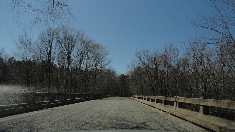
This bridge goes over the actual Stony Creek.

Stony Creek uses some old white street blades. This is where Halifax Rd goes east to US 301.

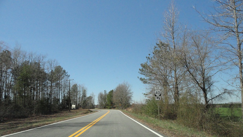
SR 657 uses VA 40 Business to cross the railroad tracks. US 17-1 turned east here, picking up US 301, but I went west.


Old and new street blades.
This sign is absolutely absurd. There's nowhere else to go but VA 40 here! The road curves to the left!
See?

VA 40 near Stony Creek.

Blue sign (what exactly are these called?) for US 301 (with the correct shield, a rarity for these).

Crossing SR 657 again.

This is frontage road 317, or F317 for short. It's the original alignment of VA 40 through here, and probably VA 40 Business as well. It was almost certainly disconnected its old route when I-95 was built through here in 1981 or so.

Forgetting the F in the shield makes this look like VA 317, which makes it look like there currently is a VA 317. There's not.

Retro VA 40 trailblazer at the end of F317.

Now on I-95 northbound, heading towards Richmond and...what in the world?

Now leaving I-95 at the VA 150/895 interchange.


This is on VA 150 at SR 637, Hopkins Rd. Until recently this BGS was mounted on the bridge.

Now at the remnants of Cloverleaf Mall. A Kroger is going here later this year.

There wasn't much left. I had to use the entrance road to leave.

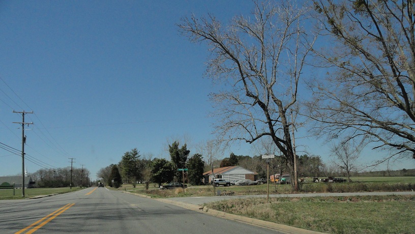
Now on US 360, Hull Street Rd, in Richmond heading towards VA 10.


Not long after VA 10 begins, it has an overlap with VA 161.


Somehow this old, normal-looking unisign escaped being replaced with the Richmond standard.


VA 10 enters Chesterfield County.

First distance sign for VA 10.

This is the first stand-alone reassurance shield for VA 10.

Approaching SR 701, Whitepine Rd, which goes to the Chesterfield County Airport.


VA 288 is conveniently just past SR 701.

Lastly, here's a small unisign for Courthouse Rd, which is SR 2099 to the east and SR 604 to the west.

From here I went to the gas station, then the grocery store and continued my Saturday off.
No comments:
Post a Comment