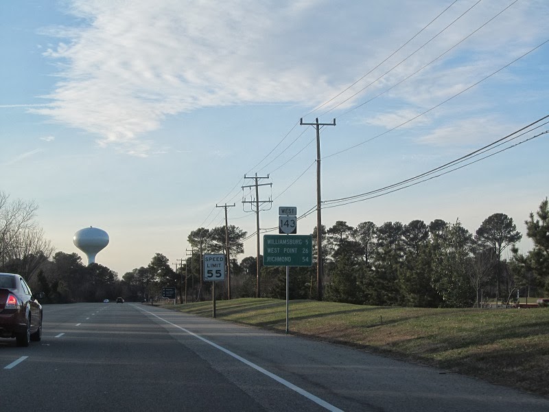
Wednesday, March 26, 2014

2014 Hampton Roads Meet, Part 1: What I Missed On VA 10 In 2012

After the Richmond road meet in 2012, Adam "Froggie" Froehlig discussed hosting a meet in Hampton Roads. On March 22, 2014, it came to fruition, bringing along 13 people from across the Mid-Atlantic. As with my first Hampton Roads trip in 2012, I took VA 10 east from the Tri-Cities, but not all the way to Suffolk.

Sunrise over VA 144 in Colonial Heights.


East of its concurrency with VA 106 and 156, VA 10 drops from four lanes to two.


At Spring Grove in Surry County, home to the eastern end of VA 40, the state's longest primary route at over 220 miles. Its west end is VA 8 in Patrick County.


More from Surry County. There isn't much here other than the occasional CDP.


In 2012 I was too busy avoiding tractors to take pictures in this area. This time the tractors were in the other direction.


Now in Bacon's Castle. Mmm...bacon castle.
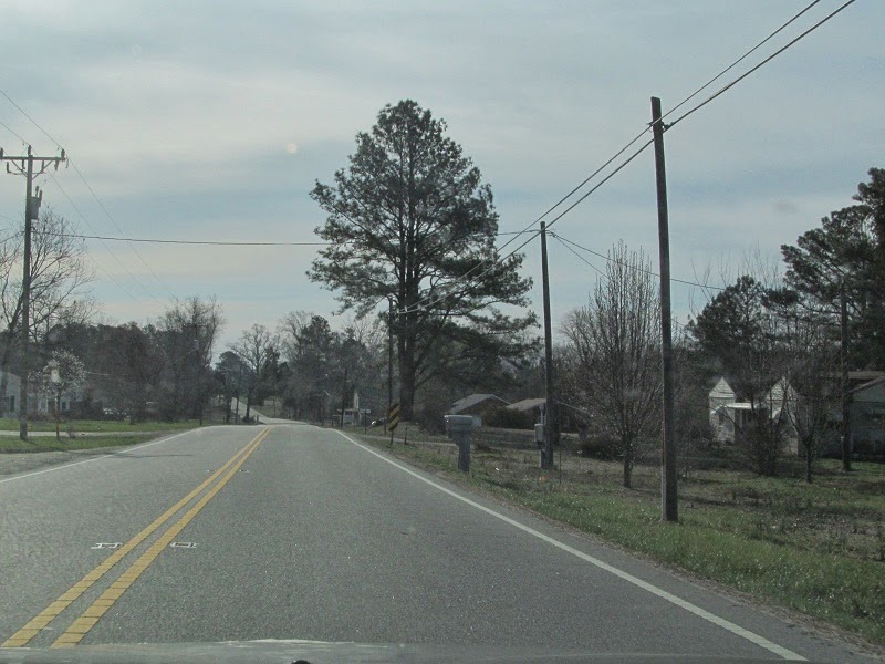

East of Bacon's Castle is Isle of Wight County, greeting you with the CDP of Rushmere and a 45 MPH speed limit.


Lights weren't flashing, so there was no fire station at the time.


Getting close to Smithfield.


Two different generations of signage, two different names for mainline VA 10.


VA 10's bypass of Smithfield is arrow-straight almost the whole time until it meets US 258.


Going over some water.


Spot the city town limit sign, win a prize.


VA 10 and US 258 meet, with differently designed shields.


There's an exit here, for SR 714, Fairway Drive.


Southeast of there, there's sprawl, although I didn't take pictures of it. I just find it odd that a town as small as Smithfield has sprawl.


At Benns Church I departed VA 10 and stayed on US 258, which takes the useless VA 32 northbound towards Newport News with it. I'll pick up with that in part 2.

Sunday, February 9, 2014

The 2013 Hampton Roads Bad Signage & Williamsburg Trip, Part V: Now With Actual Williamsburg

VA 143 enters Newport News, where it spends over half of its existence.


More horizontal signals!


VA 143 is now on Jefferson Avenue, which is pretty much 20 miles of traffic lights, with only one slight curve the whole way.


Charlie Chan's.


Meeting back up with US 258. US 17 also joins VA 143 here, although it isn't posted as continuing north/westbound.


Jefferson moves more and more upscale as it heads northwest.


Meeting I-64 and lots of traffic.


I really like the old-style shields Newport News uses.


It's temporary, but still hideous. VA 105 connects to Fort Eustis.


This is where VA 143's original purpose begins to show, in the northwesternmost point of Newport News. It was created (as VA 168) as a surface-level bypass of US 60 before the Interstate system was conceived. Between VA 105 and Williamsburg, it runs parallel to I-64 and US 60 without much access. Here I'm looking southwest at I-64, between VA 105 and 238.


The speed limit goes up to 55 after VA 238. For comparison, the fastest speed limit on US 60 east of Williamsburg is 45.


Entering James City County, whereupon VA 143 becomes Merrimac Trail and uses that name for the rest of its route.


Without much of anything noteworthy, VA 143 enters York County. There was an offramp of I-64 and one access road from Naval Weapons Station Yorktown, but that's it. Very little traffic, too.


It gets a bit busier in York County, and straddles the border between James City and York once or twice more.


I left VA 143 for VA 162. I covered VA 143's last few miles back in the 2012 trip.


From VA 162, I headed for the Colonial Parkway via old VA 163, Parkway Drive. VA 163 was decommissioned in 1994, at the same time VA 162 was truncated to its hilariously short length.


The Colonial Parkway.


I departed the Parkway at the VA 132/199 exit and took VA 199 west to VA 5 to head home.


So that's it. It took me well over a month to post this trip, but I haven't taken one since, due to preparation for my project car later this year. The next one will probably be another Hampton Roads excursion for the planned road meet there in March.