Tuesday, January 21, 2014

The 2013 Hampton Roads Bad Signage & Williamsburg Trip, Part 3: Welcome to Norfolk

From the north end of VA 225, I turned west on US 60 into Norfolk. The next route to clinch was VA 170, which greeted me with an incorrect shield.


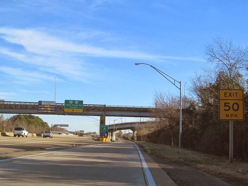
Heading west on VA 170, Little Creek Road.


Little Creek Road becomes VA 165 at Military Highway, which has lower case directional initials for some reason.


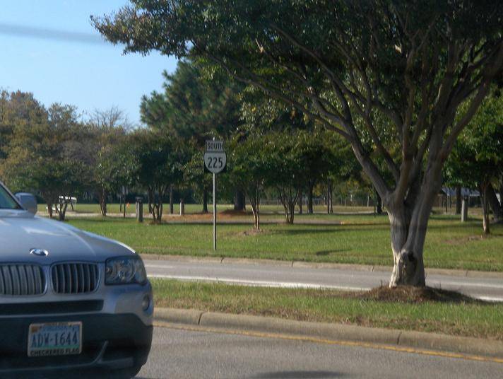
Little Creek Road is pretty urban.


Getting onto I-564. Here's some terrible shields.


And here's a big one.


Getting on I-564, then onto VA 406.


VA 406 ends at VA 337, which I took back to I-564.


Tunnel!


I-564 ends at US 460 and I-64.


I nearly hit the curb on this. Notice how close I am, and keep in mind I'm sitting on the left side of the car!


On I-64 heading towards the Hampton Roads Bridge-Tunnel.


Tunnel! (again)


Caution.

The 2013 Hampton Roads Bad Signage & Williamsburg Trip, Part 2: Driving Around Virginia Beach

On Atlantic Avenue, US 60, the closest street to the ocean. Weird signage abounds in Virginia Beach.


I went south on Pacific Avenue, a block over, to General Booth Boulevard. I turned at Birdneck.


I'm conflicted.


Heading up to the resort area again.


Atlantic turns at this traffic signal. US 60 is on Pacific for a bit until it turns onto Atlantic to Rudee Inlet.


Heading up Atlantic some more.


US 60 turns from Atlantic to Shore Drive here. Atlantic keeps going to Fort Story. The segment of Atlantic north of US 60 was once VA 305 until 1960, although there were VA 305 shields still around on Google Street View. I didn't see any.


The easternmost section of Shore Drive is over a mile long, mostly straight, and low traffic. Whee!


After VA 343 and former VA 305 again, US 60 meets the north end of VA 279, Great Neck Road.


In 2009 this was a VA 225 shield. Really. Because Virginia Beach.


VA 279 south ends at US 58. I then took that to VA 225.


I've done most of VA 225, but I still needed the part from US 13 to US 60 to clinch it.

The 2013 Hampton Roads Bad Signage & Williamsburg Trip, Part 1: To The Ocean

For my last trip of 2013, I decided to combine my annual Williamsburg trip with a trip to the Virginia Beach oceanfront. Hampton Roads is, as you all know, the terrible signage capital of the world. Since I've covered most of the way down (and the sun was in my face), I started taking pictures in Suffolk on US 13/58/460.


Now on I-264, which I reached via I-664 southbound.


The Des Moines Avenue exit was closed.


Descending to VA 141 southbound to clinch it.


To get back to I-264 from VA 141's south end, I took US 17 northbound to VA 337 eastbound, back to VA 141.


That I-264 shield...ew.


Back on the interstate, oceanfront bound.


I hadn't driven this far before on I-264.


First Colonial Road was once VA 408. It was never posted from I-264 {or its tolled predecessor, VA 44) but it was posted from VA 279 and, I believe, at least one of the US 58s.


Birdneck Road is the last exit on I-264.


I-264 ends to become 21st Street eastbound and 22nd Street westbound.