Saturday, December 29, 2012

The Hampton Roads Bad Signage Trip, Part V: Everything You Never Wanted To Know About Interstate 664

From the east end of I-64, we continue northbound on its most recently-completed child, I-664. I-664 forms the western part of the Hampton Roads Beltway, heading north from Bowers Hill through eastern Suffolk to Newport News and Hampton. The section of I-664 from Bowers Hill to VA 135 wasn't completed until 1991, with the Monitor-Merrimac Memorial Bridge-Tunnel completing the route the next year. The section in Newport News and Hampton is older. Its exits are numbered sequentially and backwards, increasing in number from south to north. I covered the southernmost part of I-664 back in July, so we'll resume at Exit 13.

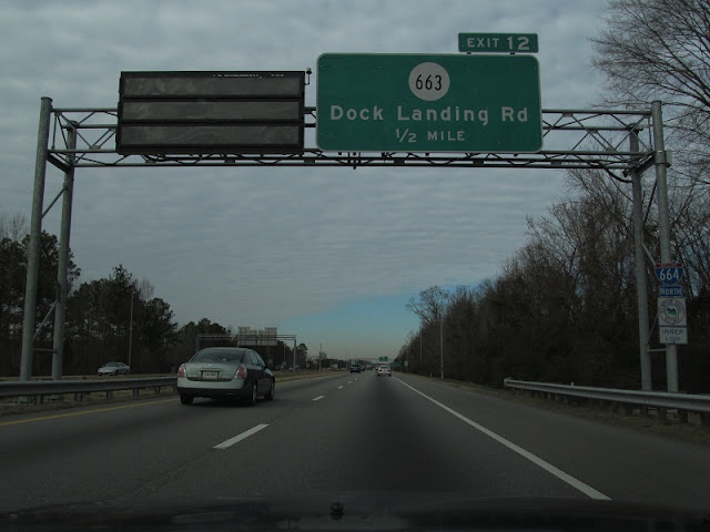
I don't understand why SR 663 was ever signed on I-664. Norfolk County ceased to exist in 1963, and I-664 is nearly 30 years newer.

Passing under VA 191.


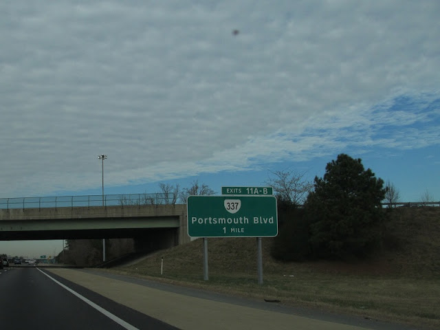
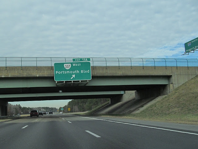
Hey look, it's VA 337. Again.


Derp.


Oh hey, another Norfolk County secondary route that doesn't exist anymore.

Spaghetti Eddie's.

Big ol' water tower.

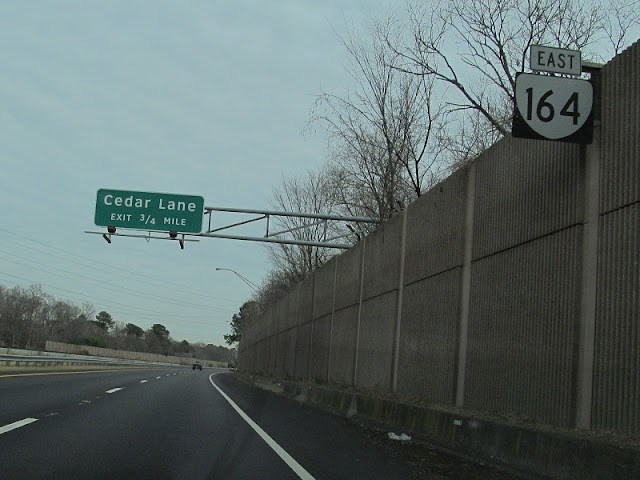
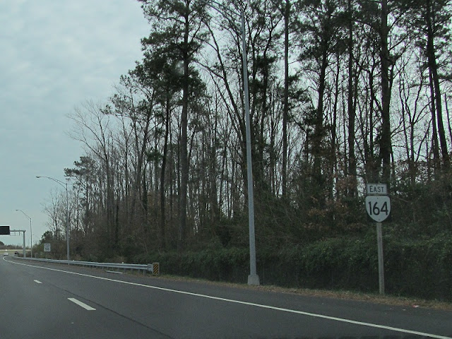
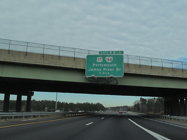
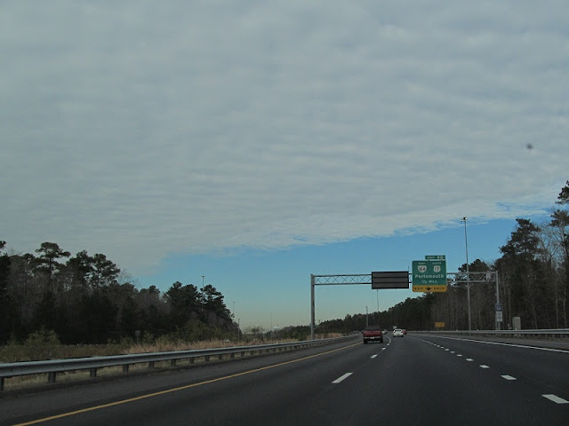
Up next, US 17 and VA 164, seen earlier.

Either I took this photo waaaay too early or I just missed the Suffolk city limits sign.

Another tunnel warning.

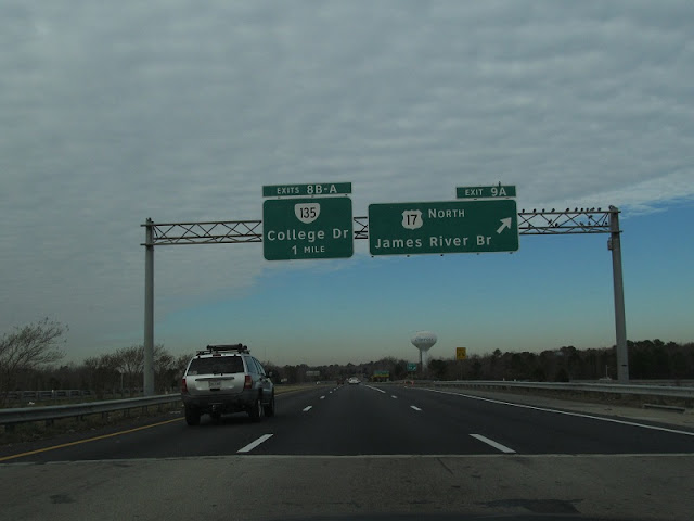
After US 17 is VA 135.

The actual tunnel is 6 miles away. The bridge is 2-3 miles before that.

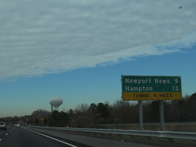
Suffolk has its own big ol' water tower.

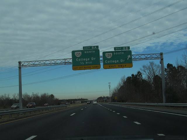
VA 135 is the last pre-tunnel exit.

We begin to see tunnel inspection signage immediately after the VA 135 exit.


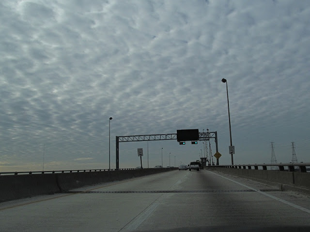
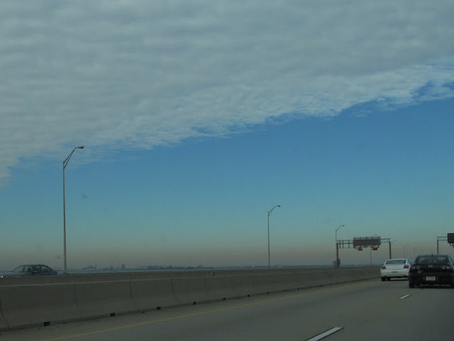
Getting on the bridge. There's also video.

Off to the east is Norfolk. Or possibly Portsmouth.

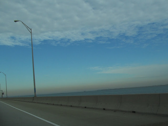
To the west is Newport News.

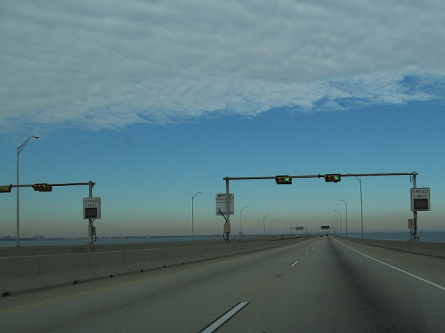
The opposite-facing signals on the other carriageway are for contraflow situations, such as a hurricane evacuation.


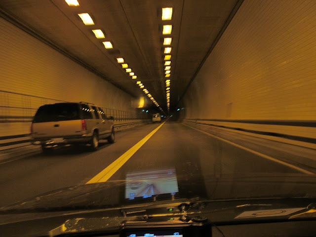
Here comes the tunnel.

It's pretty foreboding inside.

Inside.

Resurfacing.

The speed limit was 60 throughout.

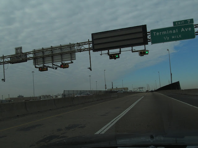
We're in downtown Newport News, not that you can really tell.


Jefferson is unsigned VA 143.

There's an older US 60 shield. See, not all Hampton Roads signage is bad.

I must have missed whatever I was trying to photograph here.

Old merge sign that I missed.


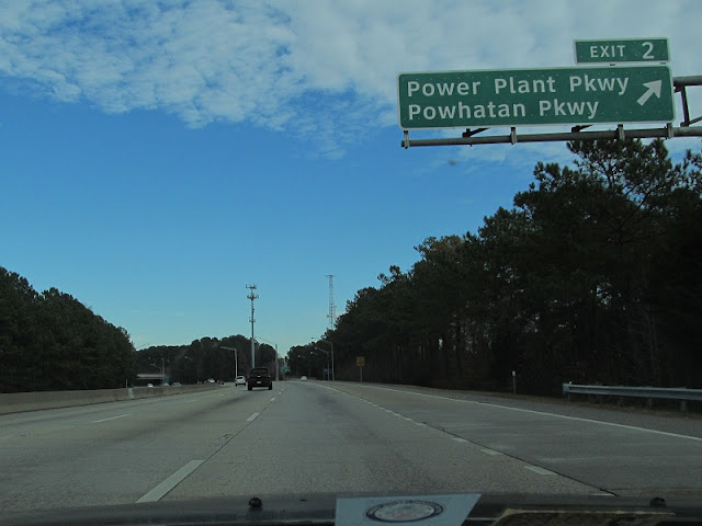
Powhatan and Power Plant.

Power Plant Parkway takes you to (and briefly becomes) VA 415, the only 4xx route on this side of Hampton Roads.

I think the overpass behind this older I-64 BGS actually is VA 415, Queen Street.

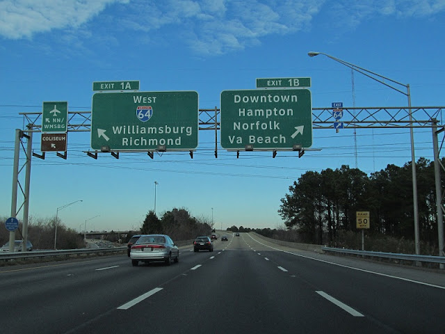
The last I-664 reassurance shield hangs on a gantry with BGS's for its parent route.

"I think we forgot something." "Eh, we'll just add it on later if we did."


In the next installment, we'll see more of the Hampton Roads Beltway.

Monday, December 24, 2012

The Hampton Roads Bad Signage Trip, Part 4: 64s Wild

Upon returning to VA 164 (Western Freeway), we finally get on it from the beginning. I made a video but it needs editing.

I-664 is just east of VA 164's west end.


The left lane ends.

VA 164's signage styling is very diverse.


I really like this photo.

Running two cameras at the same time.

The median of VA 164 has a railroad.

I almost missed this one. This trip was the first time I used my Canon while driving.

Holding pond. Or something.

Approaching APM Terminals Boulevard.

And the facility it serves.

Reassurance.

We approach the Elizabeth River bridge, the first part of VA 164 to be completed in the late 1970s.


After the bridge is the Pinners Point Interchange with US 58, the last section of VA 164 to be completed in 2005.


All the inspection signage is for the Midtown Tunnel, which we'll cover later.


One of two end shields for VA 164. I missed the other one, but Elric got it.

Not long past VA 164 on US 58 is VA 141.

Odd font here.


VA 141 turns from London Boulevard to Effingham Street.

From Effingham I got on I-264 eastbound, making a video from there through the Downtown Tunnel and all of I-464.

I resume photography on I-64 Inner, now using the Canon permanently to save the smaller Sony memory card for more videos. Here's the drawbridge over the Elizabeth River.


This was the second 3rd generation Acura TL Type-S we saw in about a 15 minute span. The other was on VA 141.

I-64 comes close to its east end (despite that we're heading westbound on it). The previous version of the BGS for "Petersburg via US 460" was larger, probably from the pre-I-664 days. It had greenout below Petersburg that I believe covered Richmond.

This sign exists on both sides of the roadway.

I-64 ends at its children, I-264 and I-664.


I'll pick up with I-664 in the next segment.