Wednesday, February 22, 2012

Camera Test 2/17/12

I have a new camera, a Sony of some sort. My dad gave it to me around my birthday earlier this month. (I can't necessarily say it was for my birthday because we'd discussed it prior to that.) Before embarking on a longer trip without knowing what the thing does, I decided to take a short trip to Carson, first photographing some strange new signs that the city of Colonial Heights put up recently. Or so I thought.

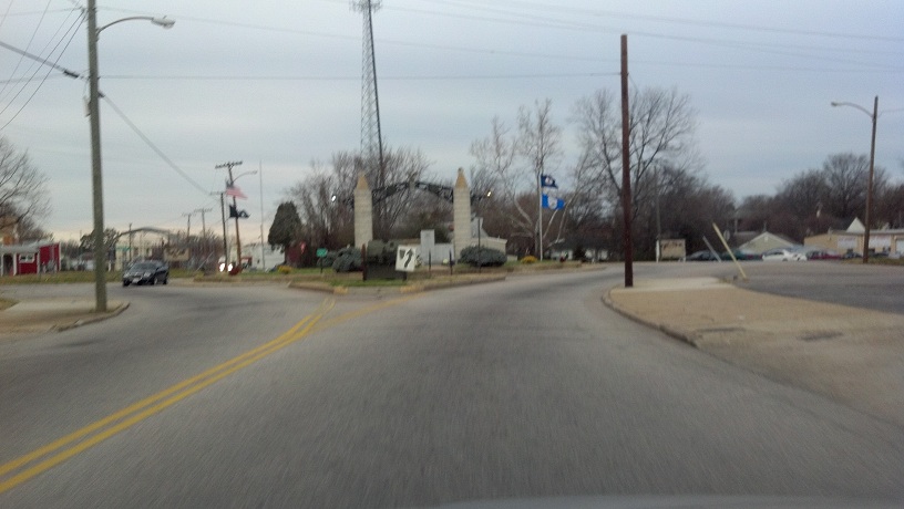
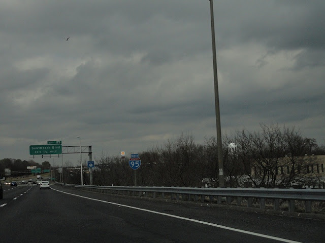
The aforementioned signs have the city logo and other information. There are five scattered across the city, at least from what I've found. I'll cover them in depth in a future entry, but this is the only one I successfully photographed, at the northbound entrance/exit to I-95 at Southpark Boulevard and East Roslyn Road.


A block away is this odd I-95 trailblazer. From here I got onto the interstate.


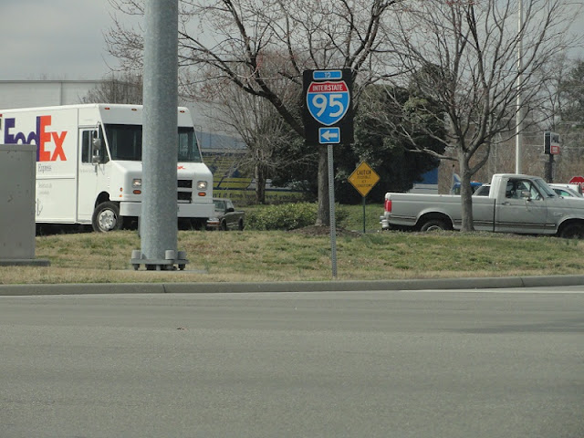
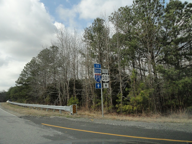
Next I got off I-95 at Exit 45, where these trailblazers are. The only reason I can think of the I-95 shield being there is that straight ahead is the frontage road.


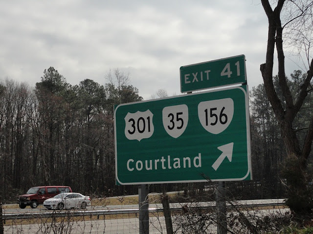
Between Exit 45 and 41 there are actually three frontage roads. F122 and F124 are semi-continuous, connected by SR 608, Gary's Church Road, while F123 dead-ends. F122 has more interesting things on it, including two hotels and some good vantage points for signage photos.


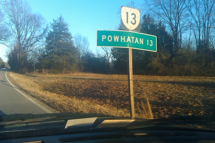
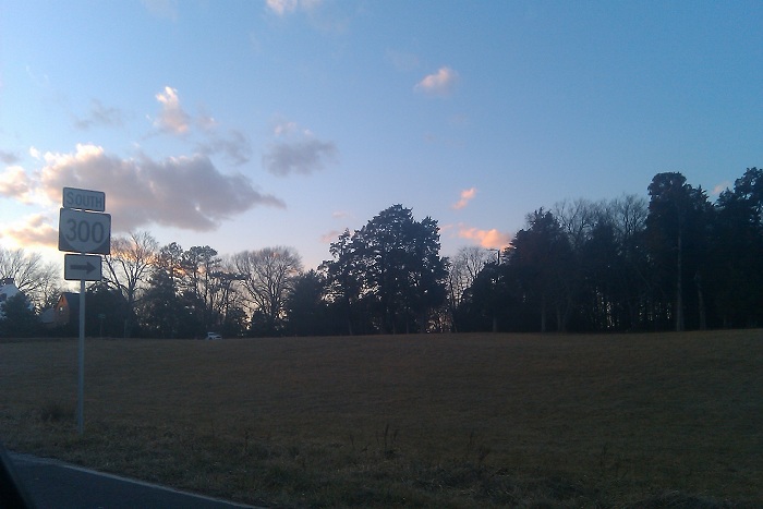
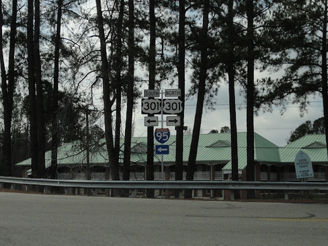
F122's south end is at the western junction of US 301 and VA 35, near I-95 Exit 41.


Hideous I-95 trailblazer, with what seems to be two different width fonts and definitely some crooked number placement, at the same exit.


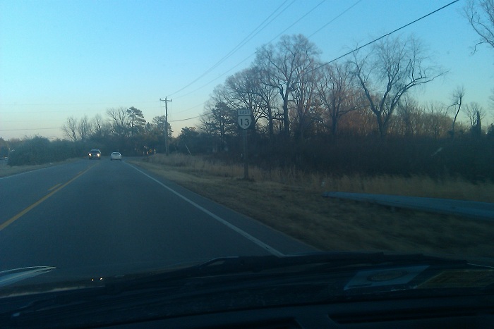
Entering Sussex County on US 301, right up on I-95.


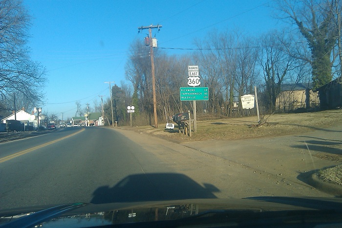
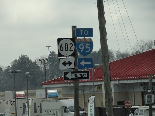
These are, I believe, the last two state-name I-95 Virginia shields in the area. Both are at the intersection of US 301 and SR 602, which is Exit 33. These date back to about 1980 when the interstate was completed through here. Before that, US 301 was four lanes, but the southbound lanes of I-95 took the northbound lanes away except near Carson. I'd have hated to have to use 301 around that time...


From here I got back onto I-95 and headed back towards CH, but stopped at the rest area a mile or so away, just inside the Prince George county line.


This is some sort of legislative code for the rest area. Or something.


Nowhere is safe from Linsanity. Nowhere.


The rest area trash cans have the state outline on them.


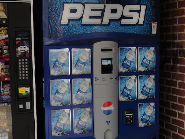
One of the Pepsi vending machines at the rest area had nothing but Aquafina water. It was $2 a bottle...I'll pass.


Obligatory car photo.


Getting back onto I-95, but only until the next exit.


Getting off the interstate, we see this trailblazer for Frontage Road 292.


The angle of this photo kind of obscures the crookedness of the placement of the numbers on the I-95 shield.


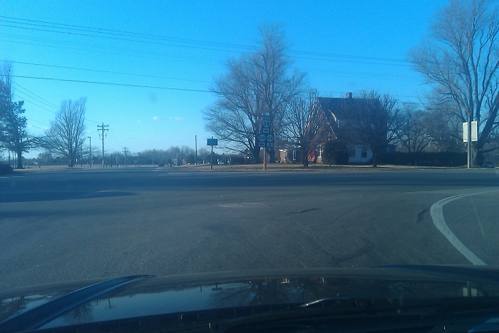
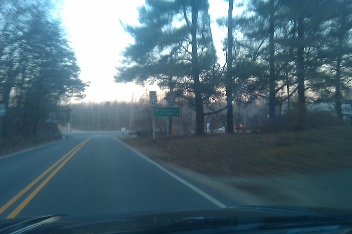
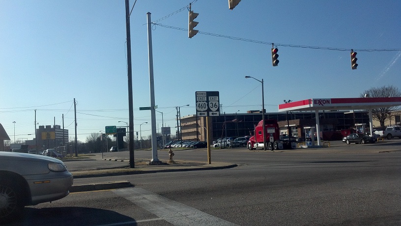
Looking at the intersection of US 301, SR 604 (straight ahead) and SR 623 (where I am). SR 604 runs between here and western Petersburg. It once carried pieces of US 17-1 (US 301's predecessor through here) and VA 141 (this was its east end here).


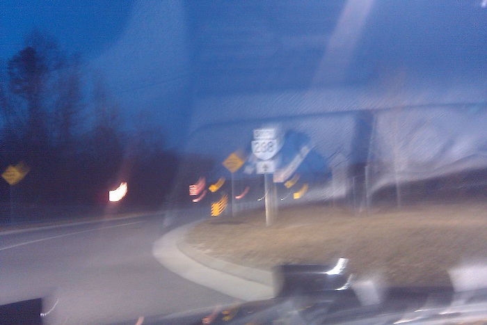
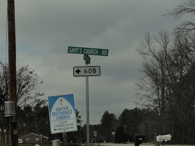
Now at the intersection of US 301 and Gary's Church Road. Another I-95 shield with a crooked number on it.


Back at Exit 45 are these two I-95 trailblazers.


This I-95 shield is on the bridge entering CH.


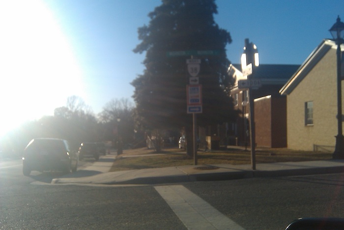
Getting off I-95 at Exit 54 (VA 144) is another one of those city-installed signs. Of course my camera would delay the shot until a vehicle was in front of it.


Divided Highway sign on VA 144 at a BP station just east of I-95. From here I went home.


This camera's quite nice, and I will be using it from here on out. Stay tuned for my first "real" trip with it.

Thursday, February 16, 2012

3 New Primary Routes in NoVA

Today the Virginia Commonwealth Transportation Board approved upgrading three parkways in Northern Virginia to primary routes: the Fairfax County Parkway (formerly SR 7100) to VA 286, the Franconia-Springfield Parkway (former SR 7900) to VA 289, and the non-VA 234 section of the Prince William Parkway (former SR 3000) to VA 294. Here's VDOT's official statement.

Tuesday, February 14, 2012

Takumi's Photo Archives: Valentine's Day 2011 Trip

One year ago today, I set out on my first roadgeeking trip of the year. The objective was to clinch VA 38 past and present, and to see how my BA4 did on a longer trip. It wasn't necessarily a photo-based trip, at least not at first, but it slowly became one for about an hour or so.

I started out somewhat late in the afternoon, because I had to work in the morning. I set out from Colonial Heights at about 3:00, and got caught behind a school bus, so I didn't make it to SR 708 (which was part of VA 38 from 1933 to 1951) until about 3:30. Even when I got to it, there wasn't much on it aside from lots and lots of trees. It's a horribly substandard route that would need lots of work to become primary if traffic counts ever warranted it. The route still has some distance signs on it, but I missed them all. I didn't successfully take any pictures of the route until I hit the village of Mannboro, where 708 meets SR 612.


Mannboro's pretty small, and 708 travels northwest from it to VA 153. When it was VA 38 the two routes duplexed north for a few miles until Scott's Fork, where VA 38 begins today. After a few nondescript miles, VA 38 changes streets several times. Here's the first, at SR 614, which heads to US 360 to the north and Blackstone to the south.


Afternoons in the winter, especially sunny ones, aren't the best time to take pictures as a roadgeek. I found this out on this trip. I think this is the only VA 38 reassurance shield westbound (actually heading north-northeast at this point).


Amelia Courthouse is where VA 38's west end is now. Its several turns are well posted. I lost more of these to the sun.


Distance sign on eastbound US 360 Business just past the end of VA 38. I went the wrong way to follow old 38, something I didn't know at the time, so I went back out to the US 360 bypass and found my way back to it.


Sunset wasn't as impending as this photo makes it out to be. SR 656 was US 360's original routing through Amelia and I took it from the bypass back to old 38, now SR 681.


Morven, where old VA 38 meets SR 616, Genito Road. This segment of Genito was once VA 149, and the west end was here. Since this is the middle of nowhere, the route was dropped even before VA 38.


Approaching the old west end of VA 38 at VA 13. I turned east here.


Bannerless VA 13 reassurance shield just east of old 38. There were several of these, but I think this is the only one that had a distance sign.


VA 13 turns east here. To reach US 60 and US 522, you continue north from this intersection. This may have been where VA 49 continued north.


Bannered VA 13 reassurance shield approaching Powhatan Courthouse. US 60 and VA 13 are so close together at this point that businesses here have an entrance to each.


Now in Powhatan Courthouse at this point, behind the courthouse itself. This is where VA 300 meets the ridiculous VA 300Y, which isn't a Y at all and just runs to the next street over.


In this photo you can see the road in the background that comes from the east end of VA 300Y.


I love this photo.


VA 300 is pretty short. I'd just left the courthouse area and was at US 60 already.


Weird VA 300 reassurance sign assembly.


Even weirder VA 13 trailblazer. Sunset was coming fast.


And to finish it off, a weird VA 288 trailblazer at Westchester Commons in Midlothian. That's all for today, folks.

Road Sign Pictures That I Gone And Done (January 2012 Outtakes/Miscellany)

(If you're wondering about why I used such poor grammar in this post's title, well, here you go.

This feature will be the home of the various photos I took during a month that didn't fit in any particular category. In this case, most of them suck.

Here I was on the way to work. This five-way intersection is where US 301 ALT begins in Petersburg, VA. My phone didn't capture the red left arrow very well.


Same deal for these green straight arrows.


Weird unisign for US 460 Business and VA 36 in downtown Petersburg. Aside from the ugliness of the sign itself, this is going from westbound VA 36.


Fake US 460 shield on a mini mart sign. Yes, this was once a 7-Eleven. Still in Petersburg.


Now we're on VA 144 near Fort Lee. These next two photos brought my quest to photograph every VA 36 posting that much closer to reality. Semi-serious.


I'm not sure why they put the EAST banner below the shield.


12-8-8 traffic signal in downtown Hopewell. This is on a permanent flash. So yeah, flashing lights.


Blurry shot of Washington Circle in downtown Hopewell. This traffic circle gives priority to VA 36.


That's it for this entry, but I have something else planned for Valentine's Day.