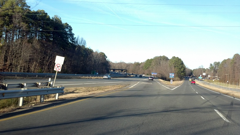
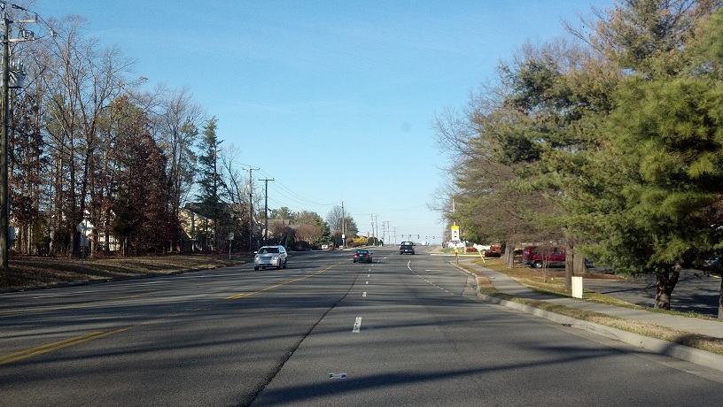
We've had a mild winter, especially compared to 2009-10 and 2010-11, and I've taken advantage of the nice weather whenever I've been able to do so. Yesterday I drove up to Henrico County with the intention of driving two Virginia primary routes exclusively within its boundaries: VA 157 and VA 356. Henrico maintains its own roads, but still has a handful of primaries, and these are two of them. I took I-95 to I-64 to Gaskins Road, which eventually becomes VA 157.
This assembly is heading southbound on Gaskins Road, where VA 157 joins southbound and leaves northbound (actually east). It looks like a Virginia-Oregon hybrid shield.

VA 6 trailblazers approaching the south end of VA 157. The sun angle was really bad southbound.
View of those same VA 6 trailblazers and the VA 6/157 intersection, from a cemetary street. (Not my finest moment as a roadgeek...)

Beginning up VA 157 from
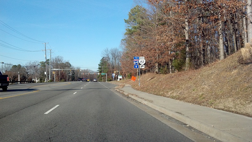
VA 157 prepares to leave Gaskins and go onto Quioccasin Road. Gaskins continues straight ahead as an unnumbered four-lane road that has access to I-64, while VA 157 is two lanes and has a bridge over the interstate.
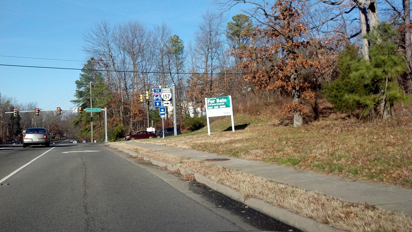
Turning onto Quiocassin. This is the last northbound VA 157 shield for quite awhile.
VA 157 goes past a couple of schools on Quioccasin before turning left at this intersection onto Pemberton Road. The route is posted on neither road.

Unlike Gaskins to the west, Pemberton looks like just another road. There's an interesting lane shift at one intersection, as well as a white rectangle for frontage road 103, but I didn't know either thing until it was too late to turn around.


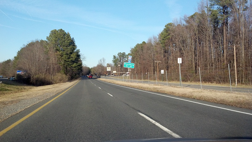
VA 157 approaches US 250 (West Broad Street) where it becomes Springfield Road. Until 1986, 157 turned east here and followed Broad Street for a bit until it met what is now Old Springfield Road.

Of course I missed the fun parts of Springfield Road, including where it meets Gaskins, as well as a few fun turns in a row. Here, it's preparing to turn towards its north end at US 33. This section seems to have been made when I-295 was built.

Lost this shot to the sun angle. At least I captured some cool cloud formations.

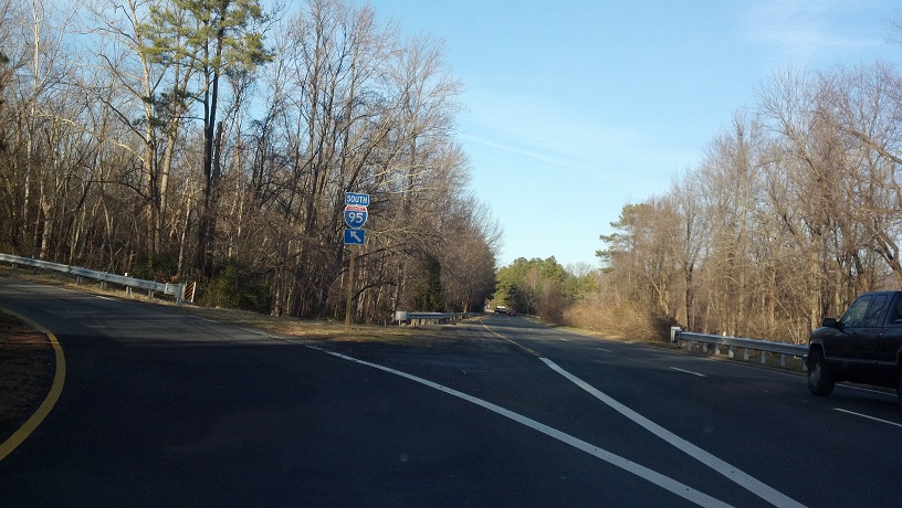
VA 157 ends at US 33, where I turned eastbound. One down, one to go.

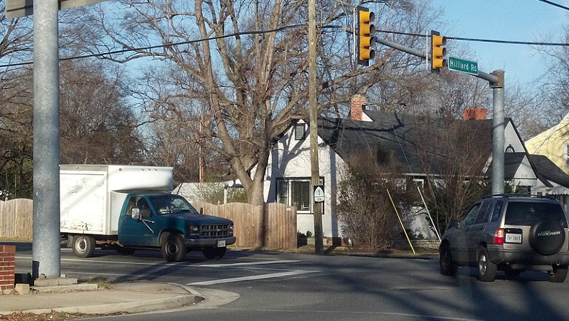
And now, VA 356, aka Hilliard Road. This is from eastbound US 33.

I didn't know this shield was visible in the last photo, so I tried taking a photo of it by itself. Again, the sun angle ruined it.
As soon as you get onto VA 356, you go up this bridge. There are no 356 reassurance shields.

Bike Route 1 shield on Hermitage Road from VA 356.
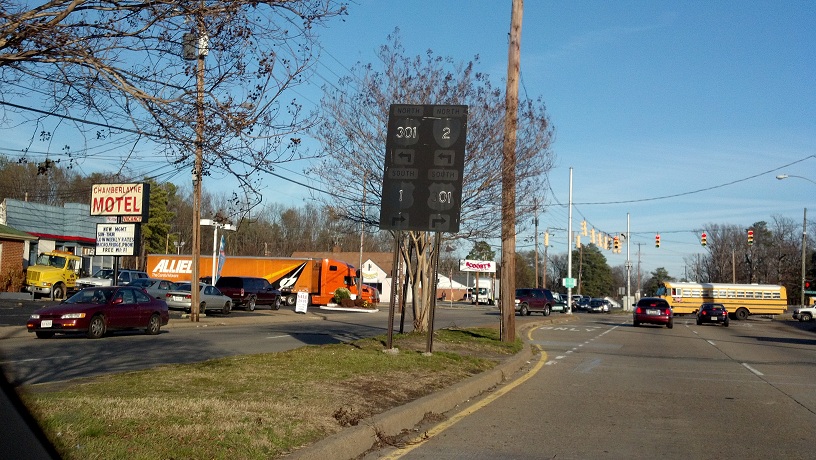
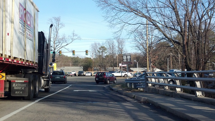
VA 356 approaching its east end at VA 161. 356 was itself part of 161 for several years, before the latter route was rerouted.
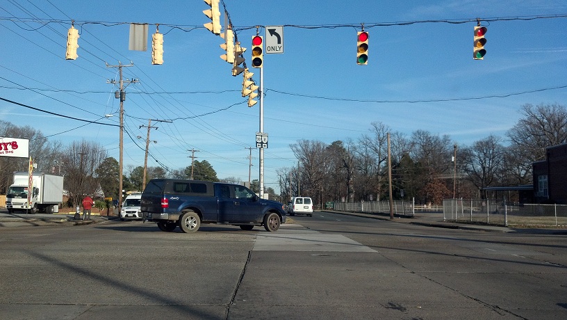
Slightly blurry VA 161 reassurance shield just after it makes its turn onto Hilliard.

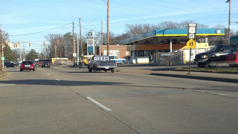
VA 161 approaching its east end.

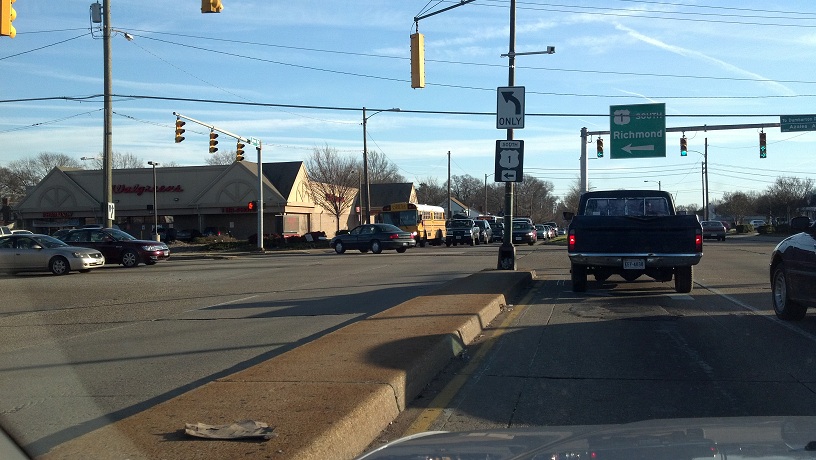
US 1 turns from Brook Road to Azalea Avenue just inside the Richmond city limits. The overhead in the background has a retro arrow, in that it gets a little smaller from the right side towards the middle, which is something that VDOT usually doesn't do anymore.